Travel Day #5: Badlands & Rushmore

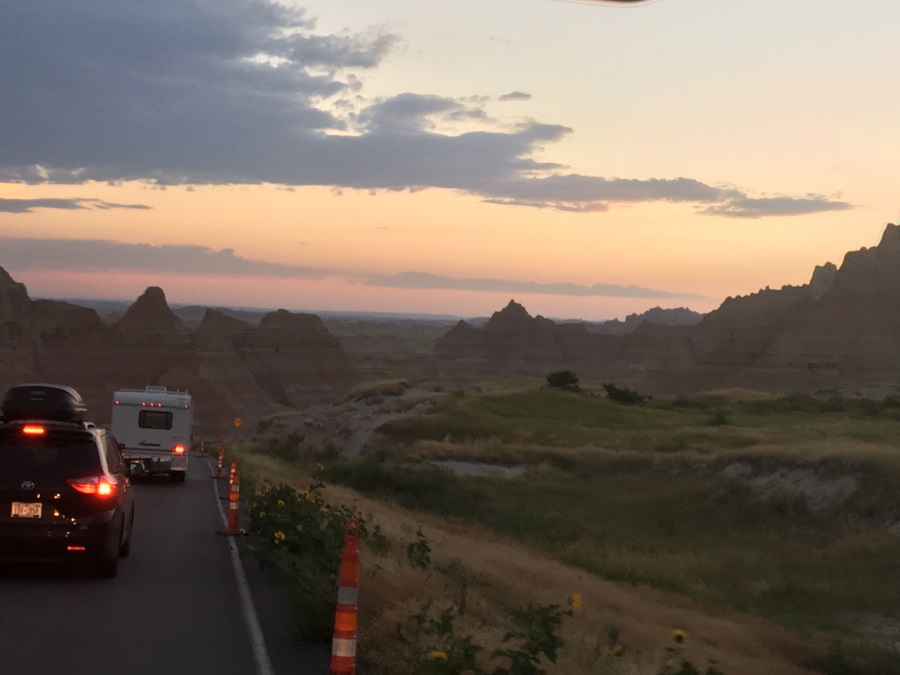
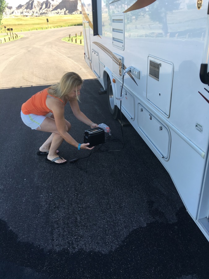
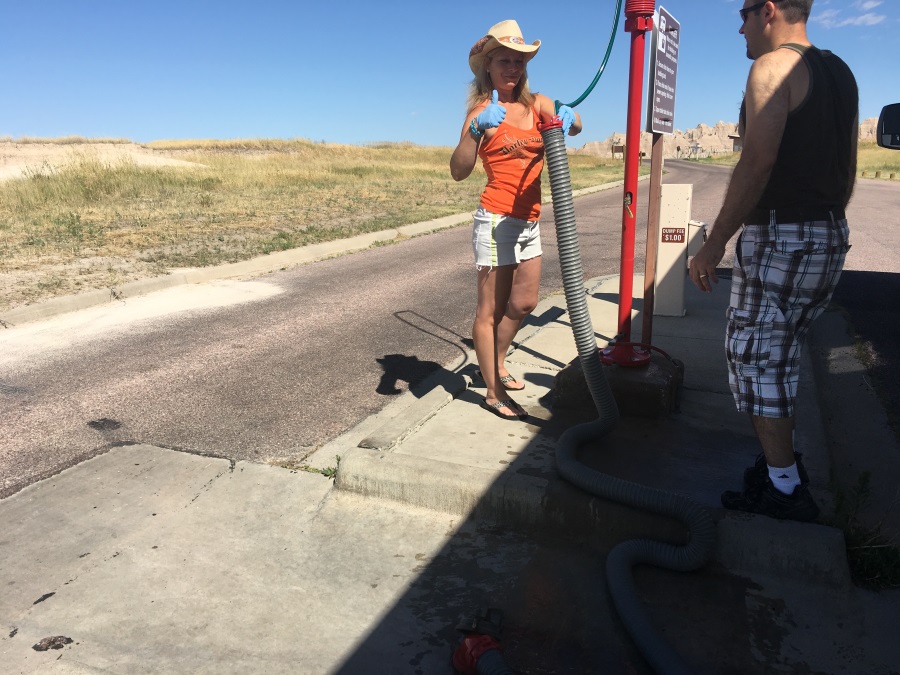
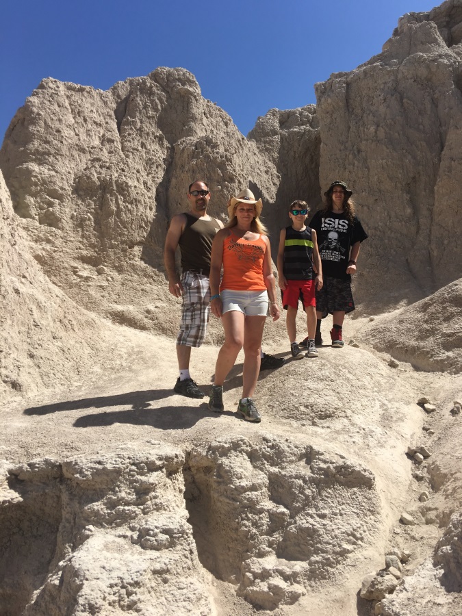
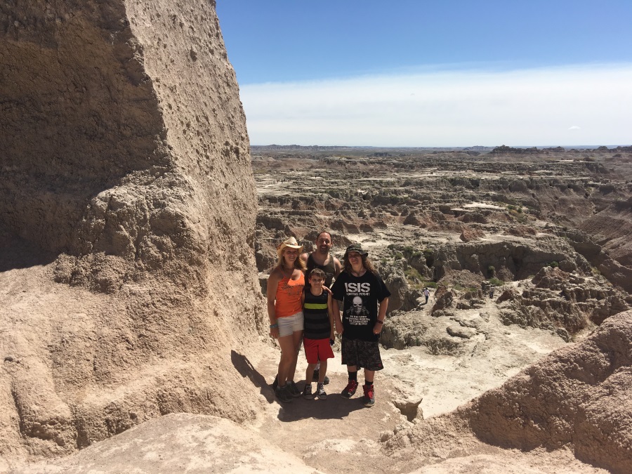
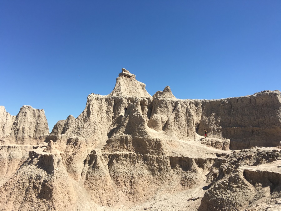
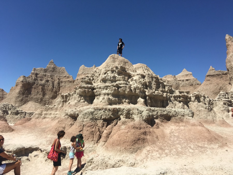
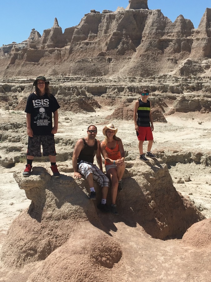
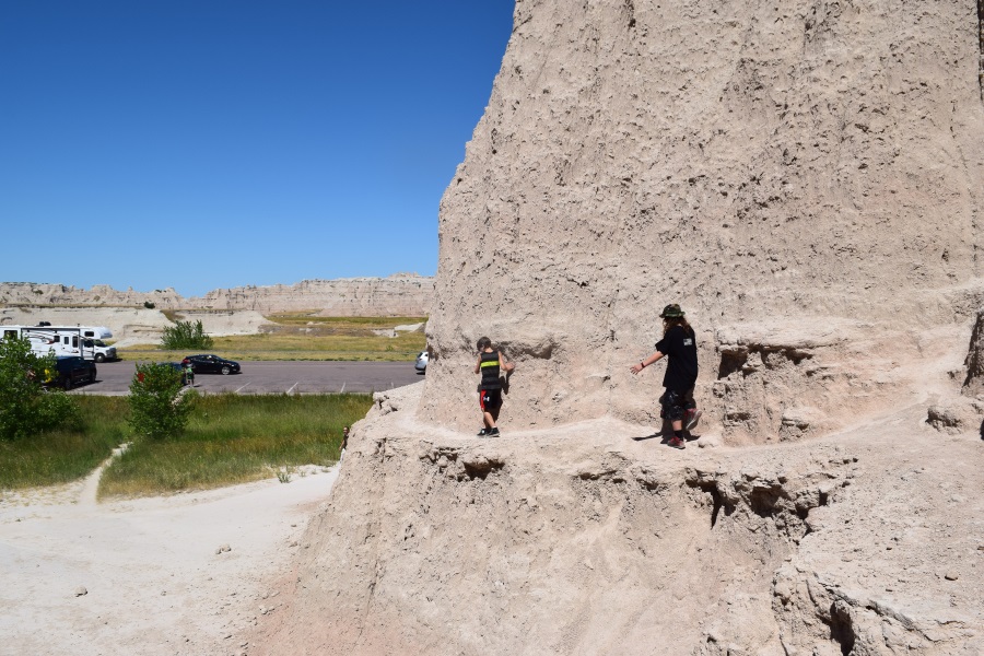
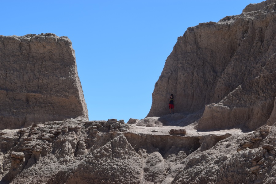
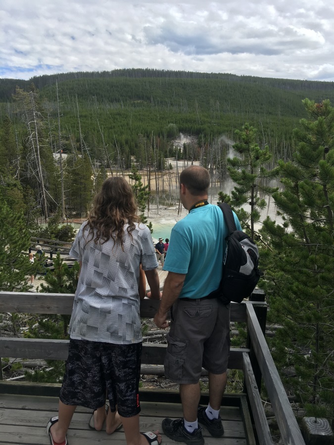
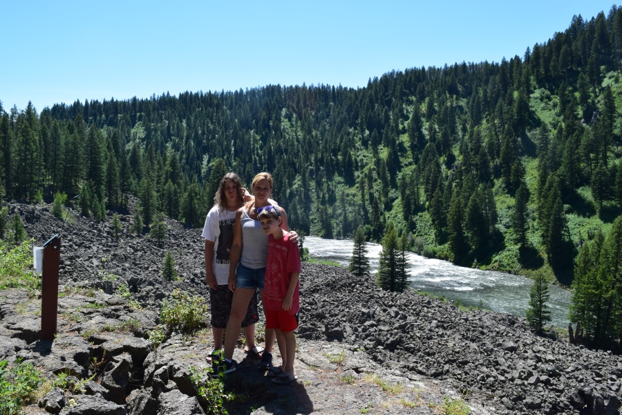
Everyone was in very high spirits this morning as we packed up and hit the dump station. We all were excited to get personal with The Badlands. We stopped at the visitor center to hear the recommendations and understand the rules.  “You’re free to climb on anything you want; you’re welcome to roam the park; you don’t have to stay on the trails. You’re also free to fall off anything you want.”  Warning noted.

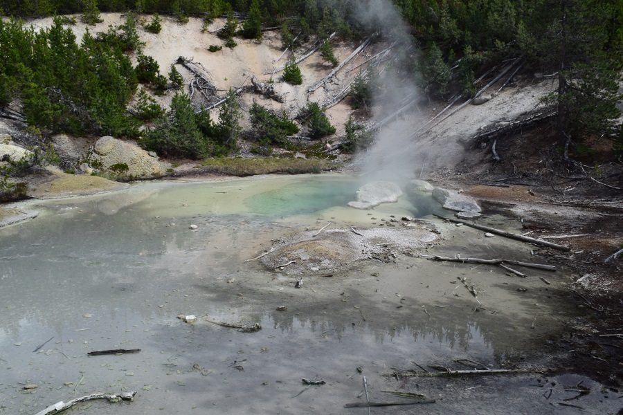
JT asked the ranger the only question I had in mind as well “Why do they call it The Badlands?” The answer is as you might guess: because it’s hot, dry, very difficult to travel through on foot, and there’s no potable ground water – it’s full of silt.

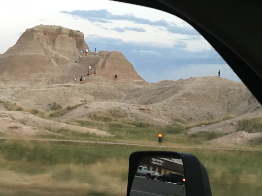
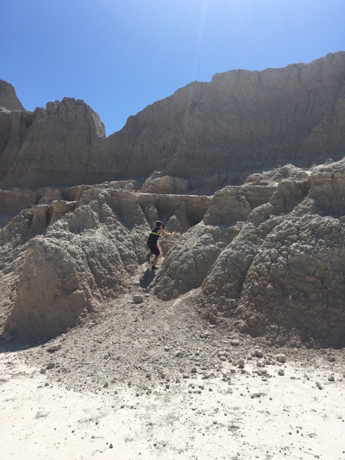
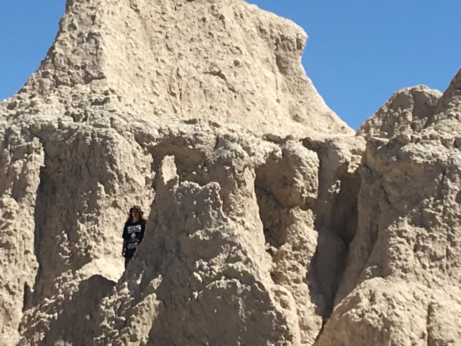
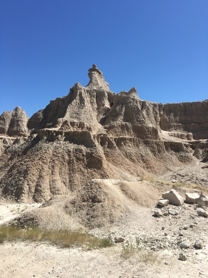
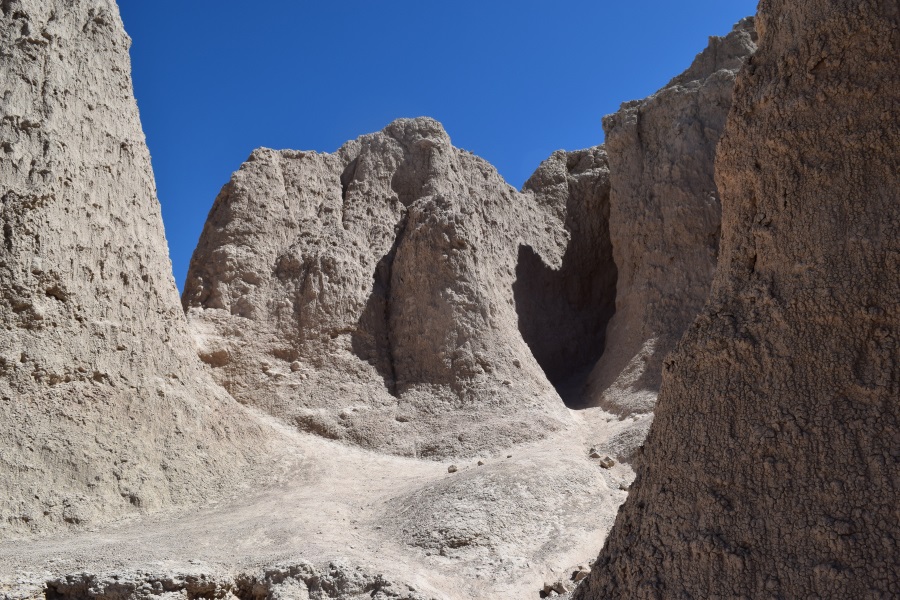
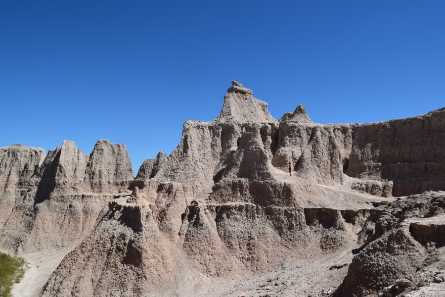
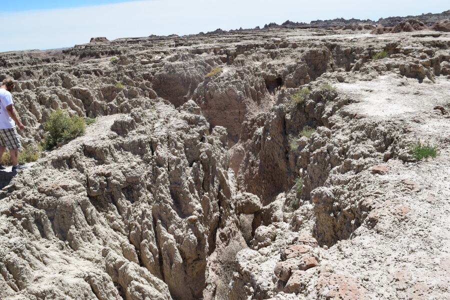
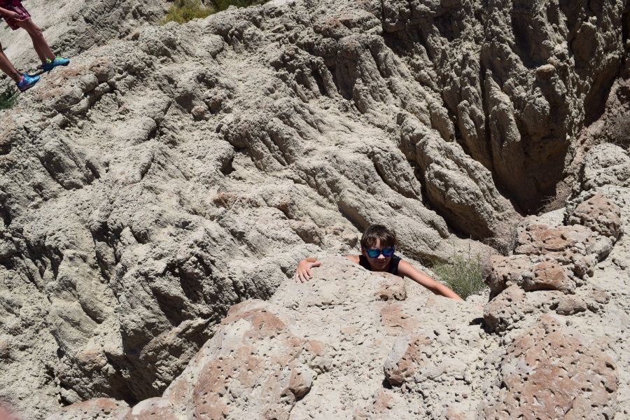
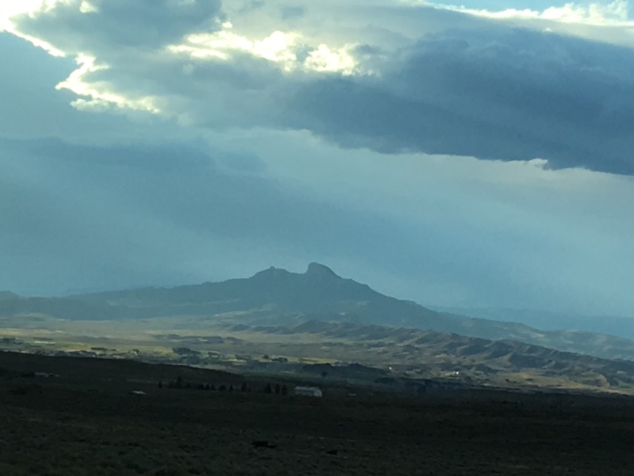
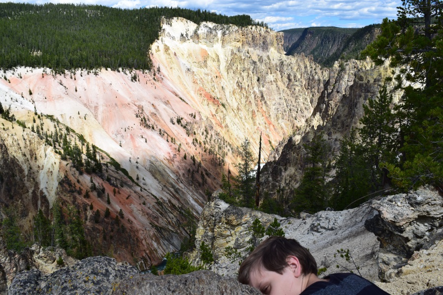
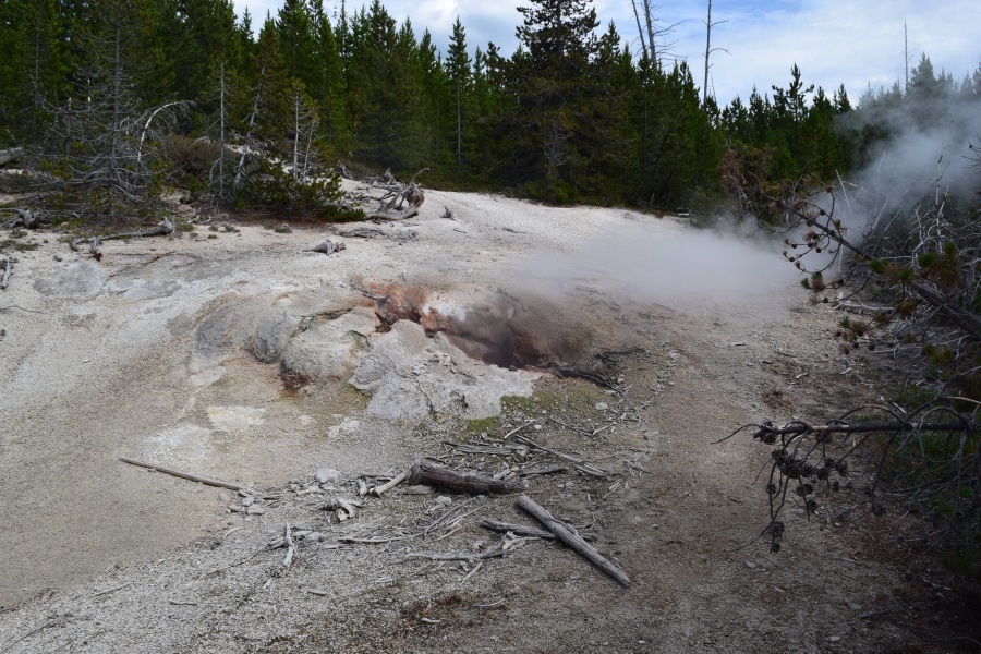
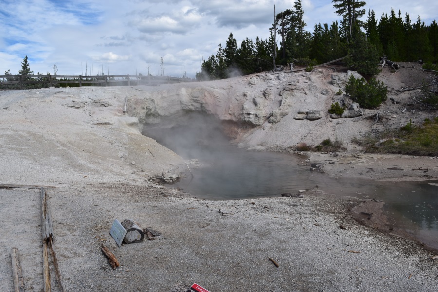
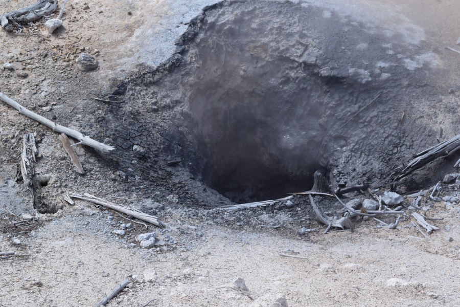
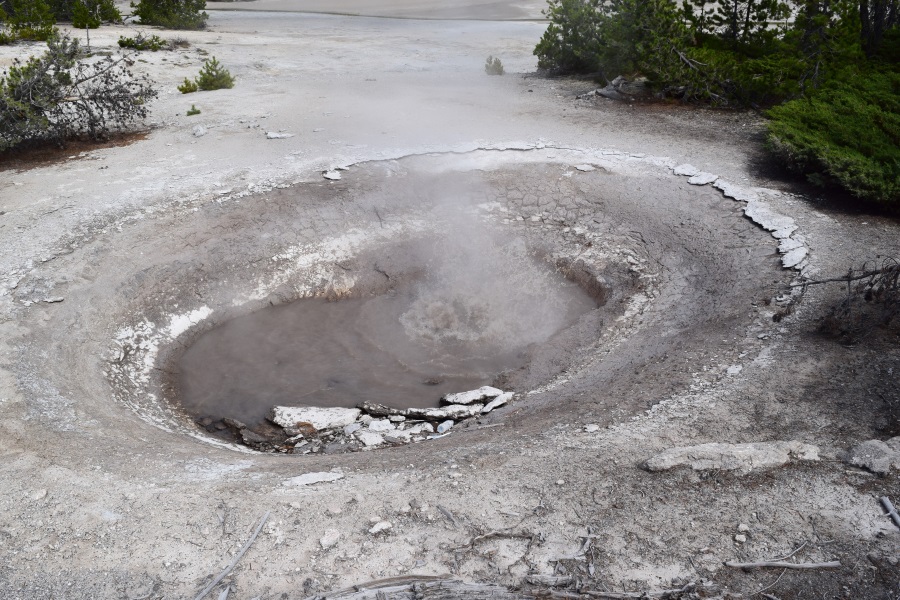
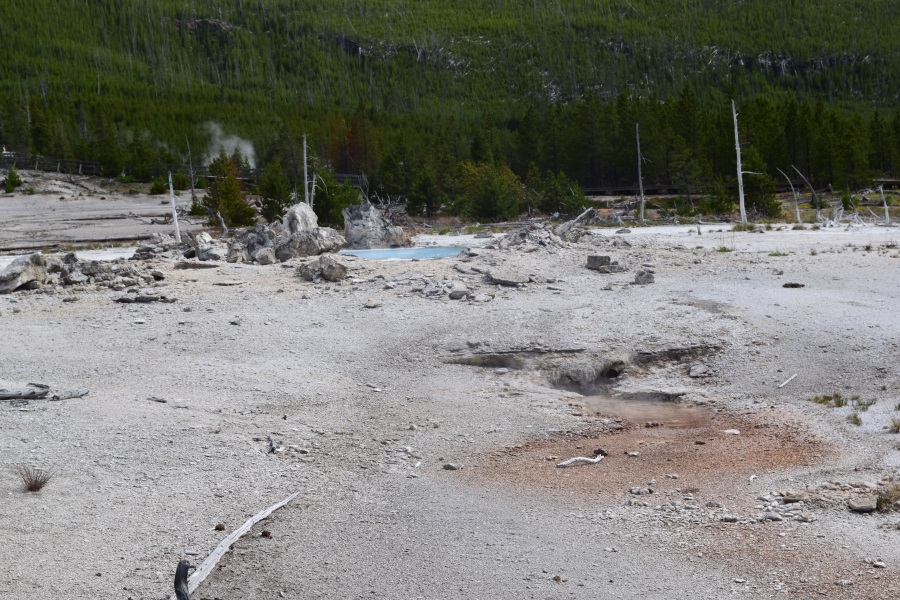
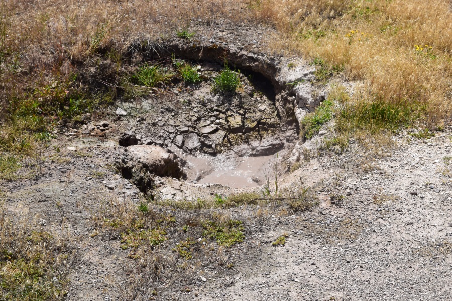
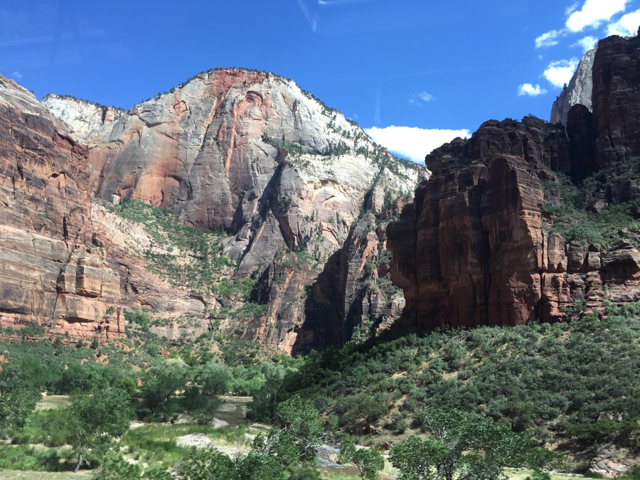
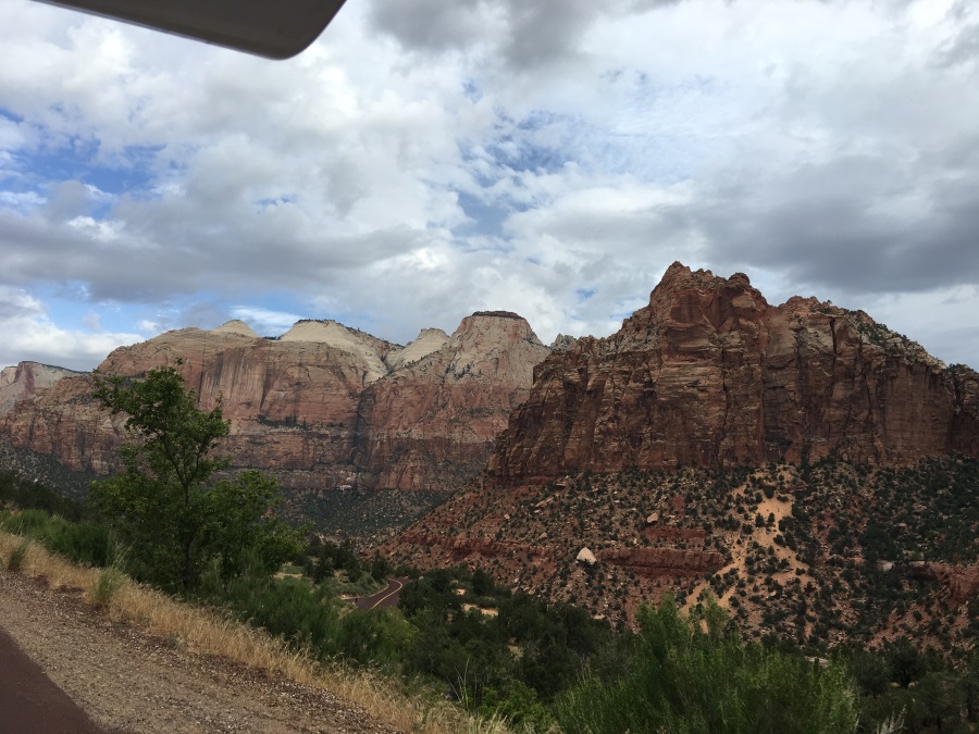
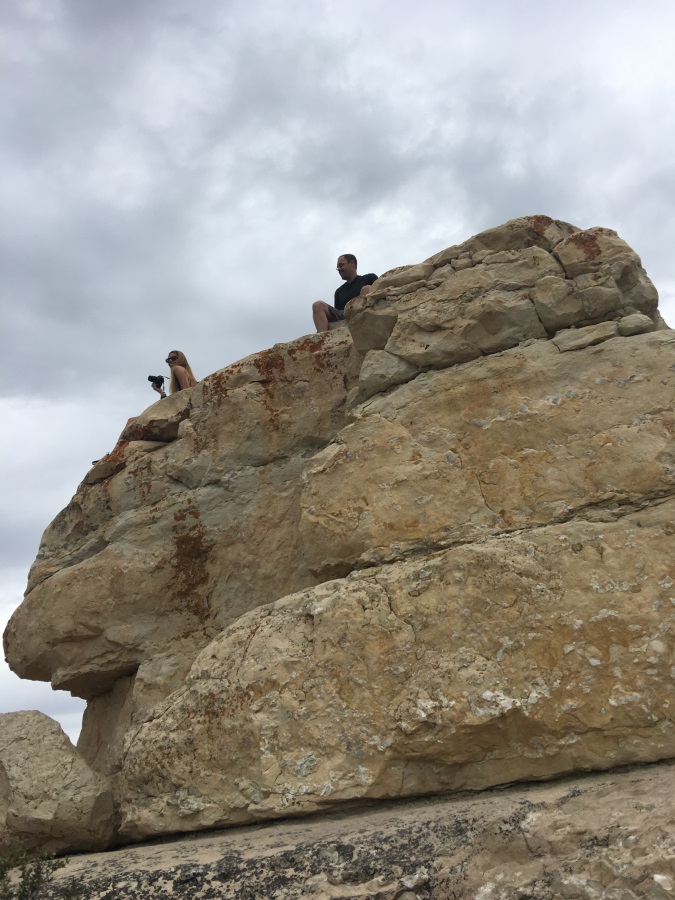
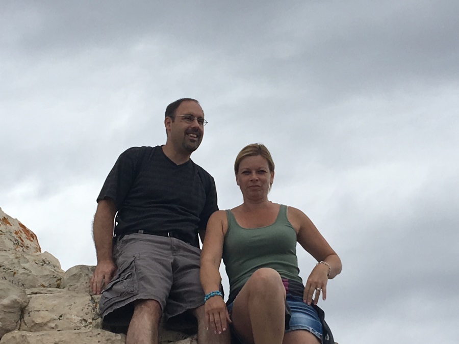
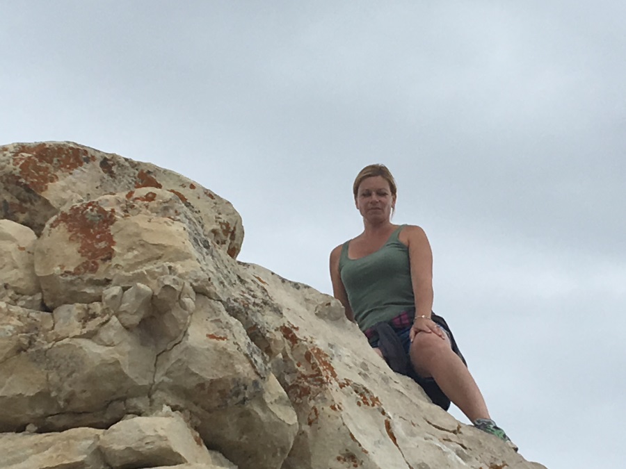
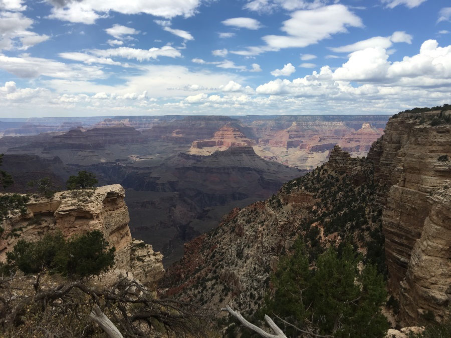
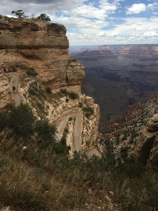
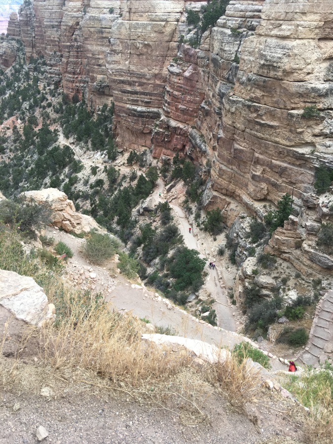
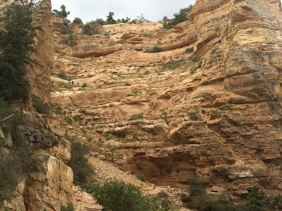
We headed out to a parking area with some nearby trails. Our phones were reporting temperatures in the low 80’s, but we’re sure it is at least 10 degrees hotter on the formations, based on what we experienced as soon as we left later in the day.  The formations are incredible: mixtures of rock and dried mud. On the surface, it’s powdery and brittle, but beyond that first eigth of an inch, it’s all so tightly packed, it’s as hard as solid rock. So what you’ve got is a suraface of marbles and pebbles on top of rock. It’s obviously aptly named, and trying to get anywhere is quite treaturous. But if you’re not really trying to get anywhere, and you’re just climbing around and exploring, it’s actually rather exillerating! In fact, I think we were all a little bit giddy about it, and happy to be allowed to literally go anywhere we wanted. Why do they allow this? I’m sure it’s because 5 minutes’ rain probably changes the landscape more than decade’s worth of human climbing. You can so clearly see how the water erodes the peaks and brings all the silt together into cement-hard collection areas at the bottom.

Although we had 7 hours to walk trails and do whatever we wanted, we’d had a “sufficiency of plentitude” by noon, and we were starting to bake in the sun, too.  We returned to the RV, started the engine AND generator to get as much air conditioning as possible, and had a nice lunch. While eating, I contemplated the map and adjusted the route to something more scenic.

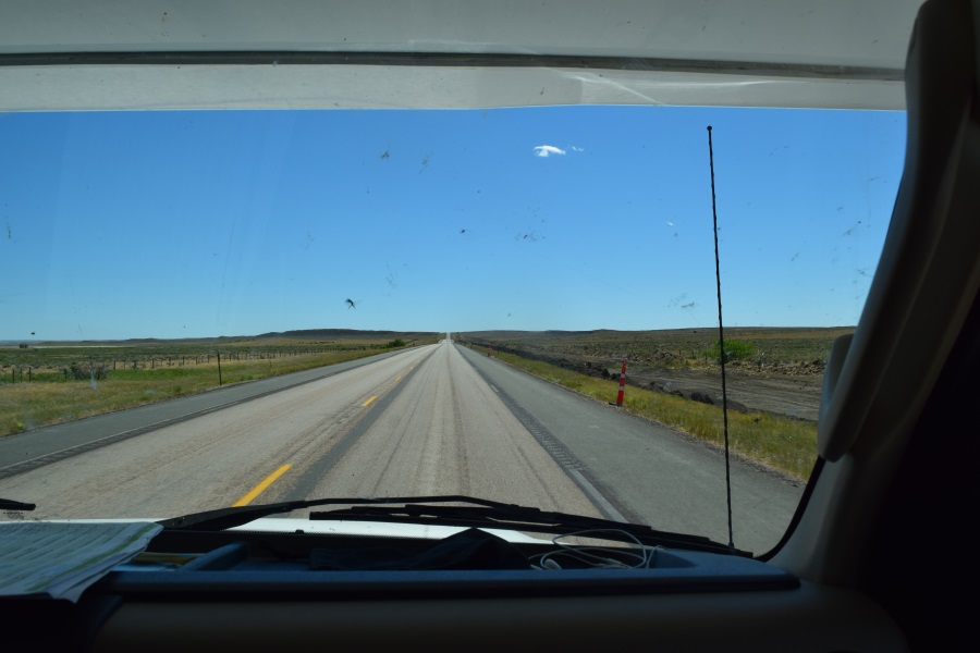
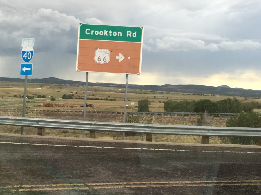
When reading maps, it’s a good idea to understand the legend.  I have now learned that a double grey line road means it’s a dirt road.  You don’t generally expect to see dirt roads on State-wide maps, but sometimes, major roads out here are dirt! As soon as we bumped off the pavement onto the dirt, I’d regretted my decision, but that would soon change.

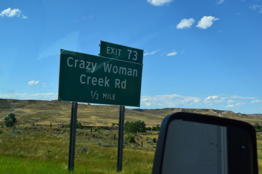
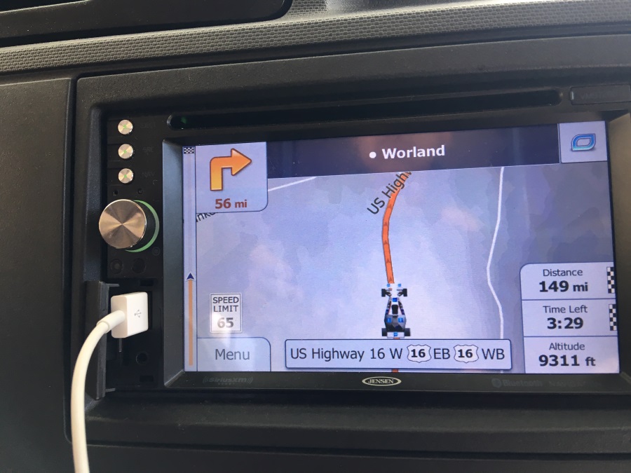
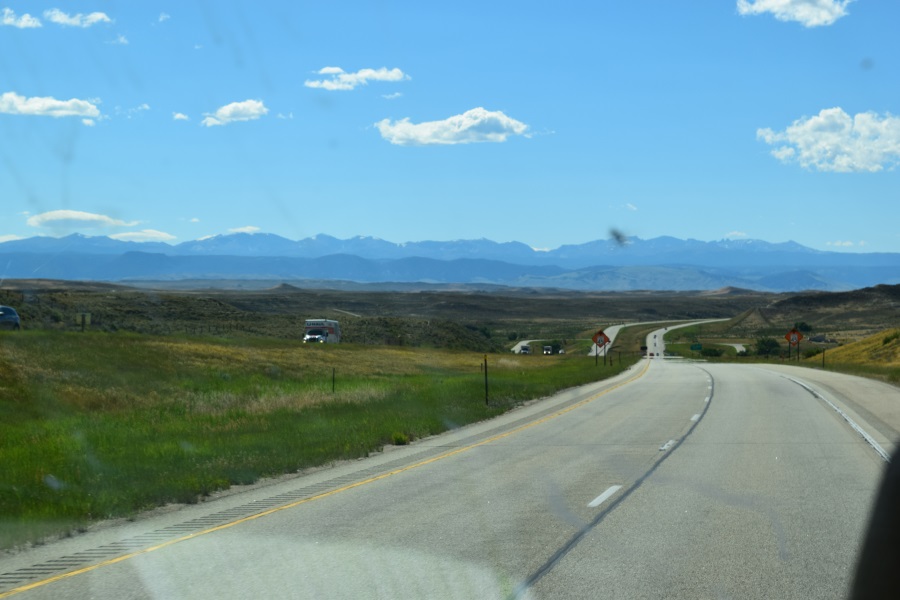
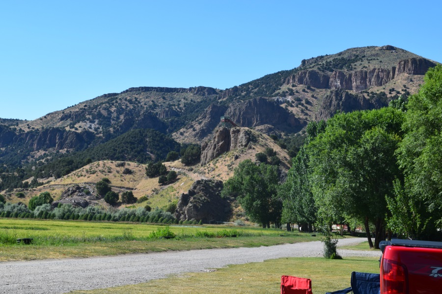
There’s a “scenic loop” road inside The Badlands. I chose to follow the part of it that went West, then cut across a connecting road before it turned North, so as to pick up the scenic road around on the outside of the park that continued West like I wanted, to get to Rushmore.

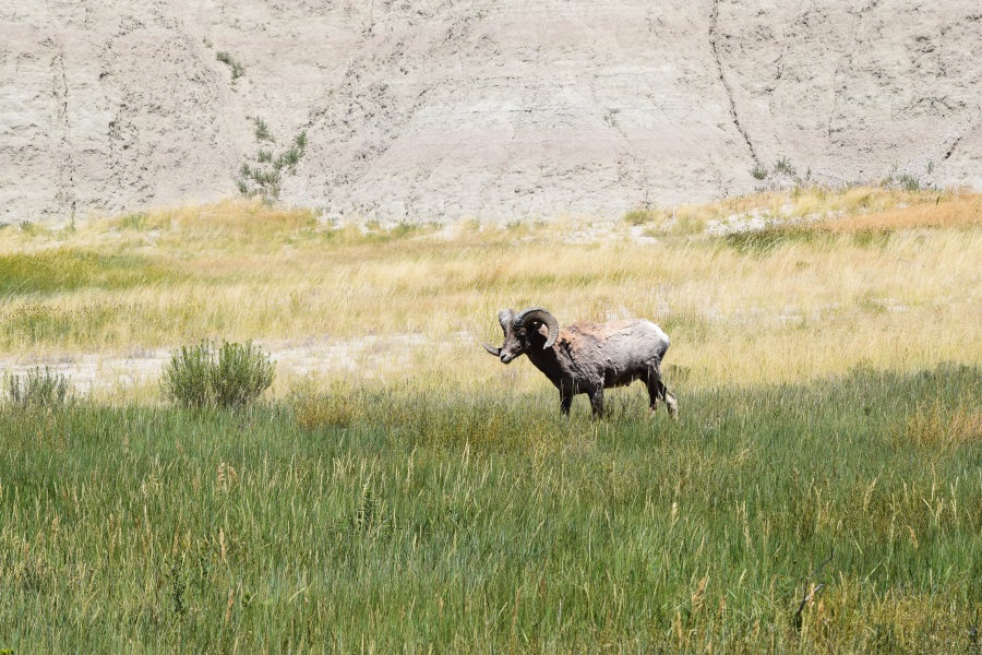
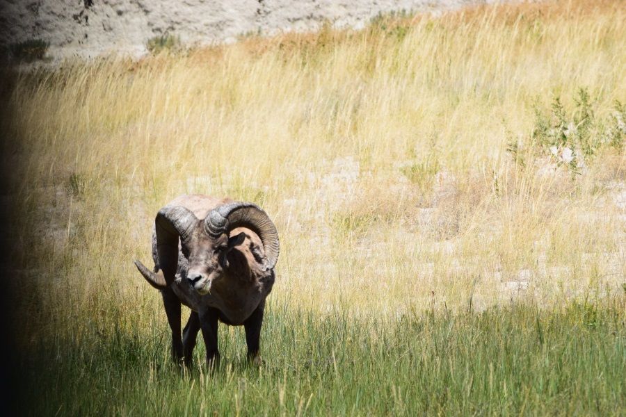
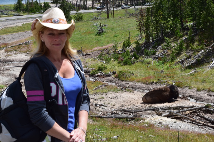
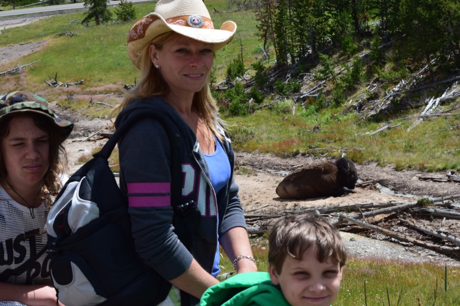
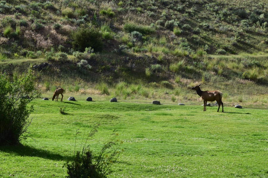
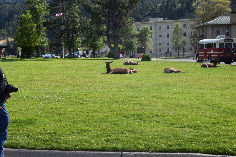
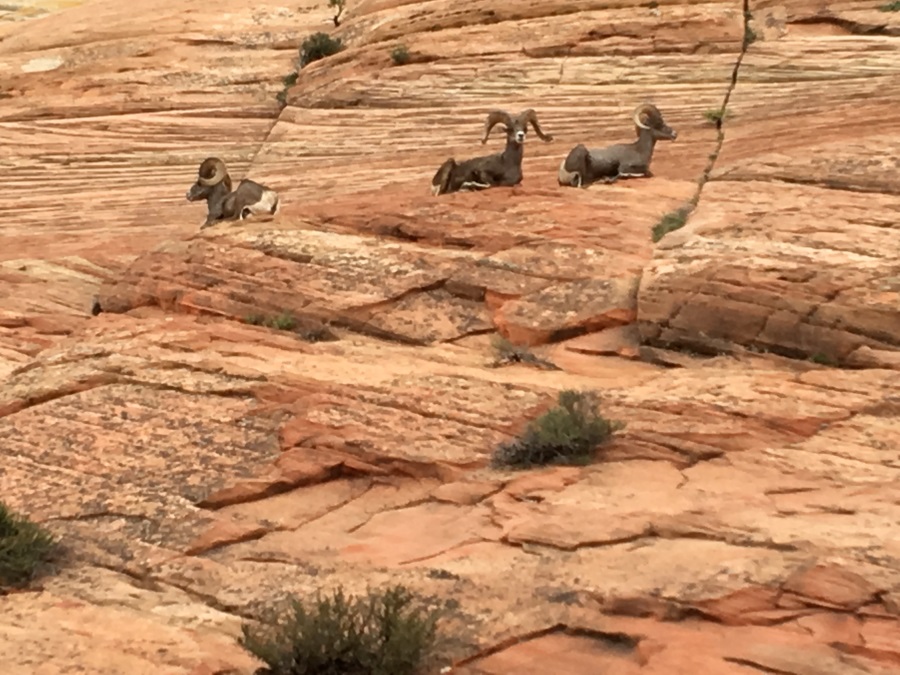
Not far from the parking lot, we turned a corner and found an enormous bighorn sheep eating grass right next to the road. He was unimpressed by the attention, and cared not that all automobile movement was at a stand still until he finished eating. Now it had been an absolute dream of mine to see one on this trip, but I felt like the chances were low. So we stopped and gawked without shame, until being bustled along by a park ranger. as I sure glad I’d adjusted our route!

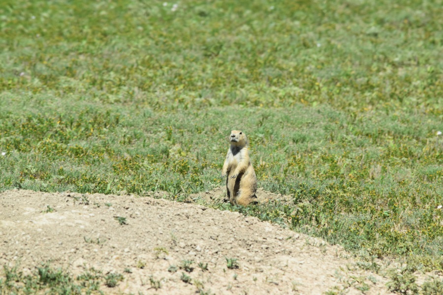
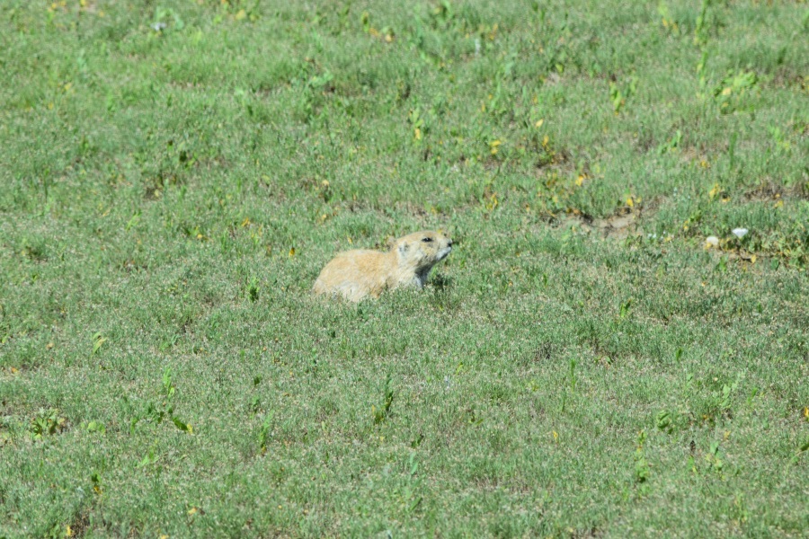
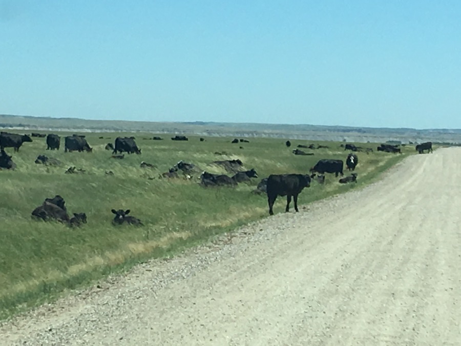
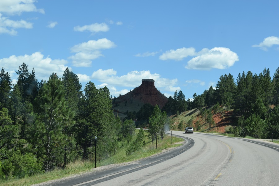
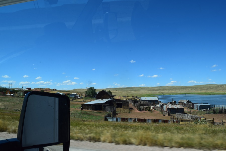
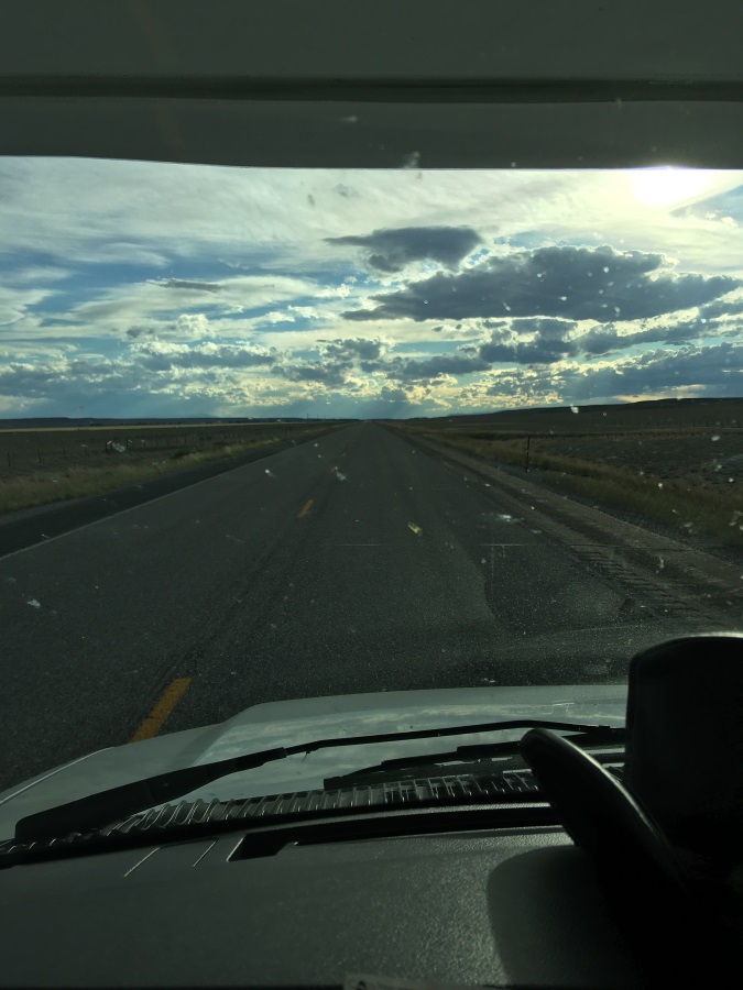
I began to have my doubts thereafter, though. We battled some stiff winds on the open grassy plains once we left the crazy geology area of the park. We didn’t stop to take pictures of prairie dogs; they were now a common enough site. The connecting road looked promising at first, winding through some beautiful lowland areas with spots where the undrinkable water was collecting, past some picnic areas near some cool looking formations, but it suddenly turned into a cow-grate protected arrow-straight dirt road with plenty of potholes. (A cow grate is rows of metal bars that you cross like railroad tracks.  Unlike railroad tracks, though, they are much thinner where your tire touches them, they are only a few inches apart, and they are in groups of 20 or 30 rails instead of just 2. This will be across the entire road, and it creates a barrier about 4 feet wide that cows won’t cross.  The spaces between the rails is too big for their feet; they’ll fall through. The rails themselves are too small for their feet; they aren’t nearly coordinated enough to balance on the rails. So they are trapped, without a fence, yet cars, whose tires don’t fall through the small spaces, can cross easily.  That means we’re now inside someone’s cattle pasture. Well, at least we might see some nice cows.

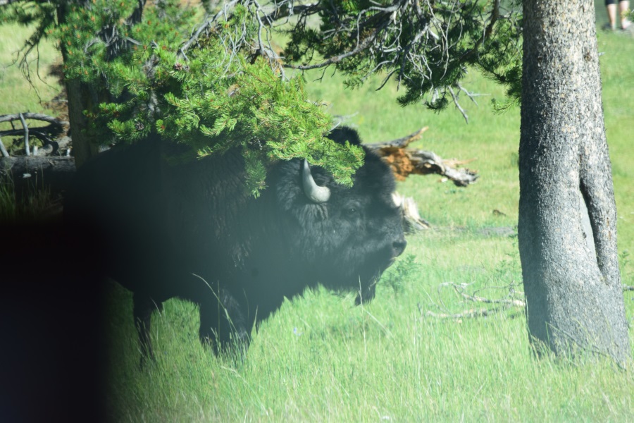
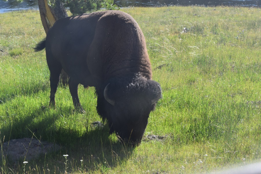
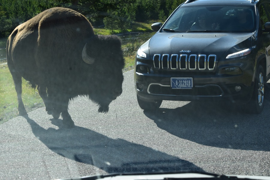
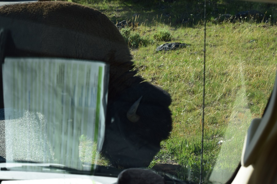
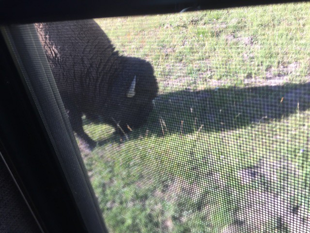
We saw cows alright. We had to wait for them to get across the road, at times. And where do they get these cows? They’re enormous! Are the mothers protective of their babies? Because it’s ALL mother/calf pairs! Oh, but was that one a bull lying there? Geez.  But that was fun.

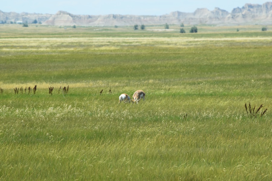
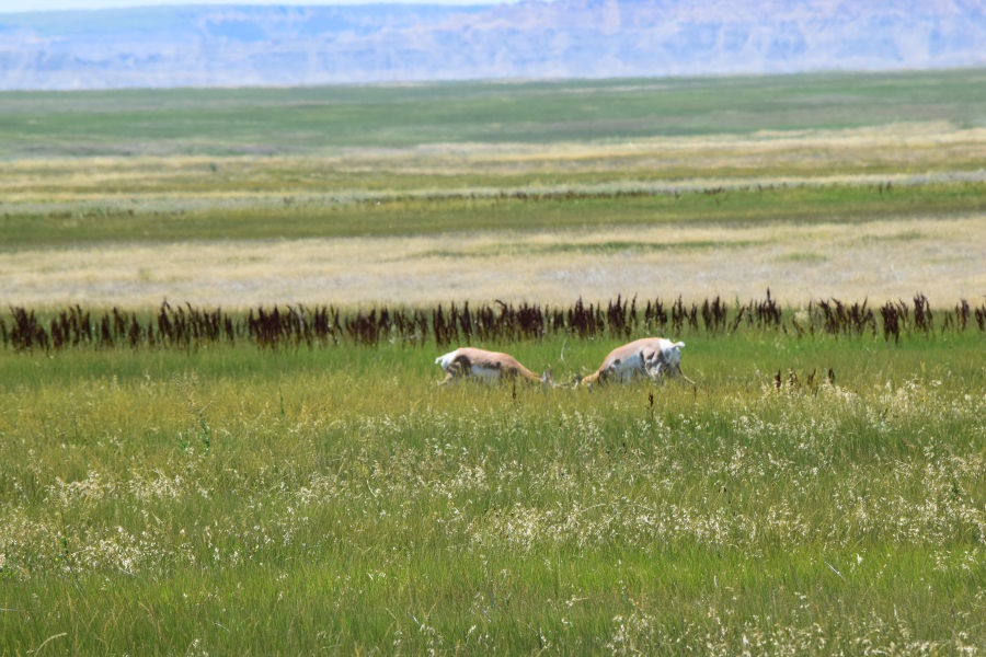
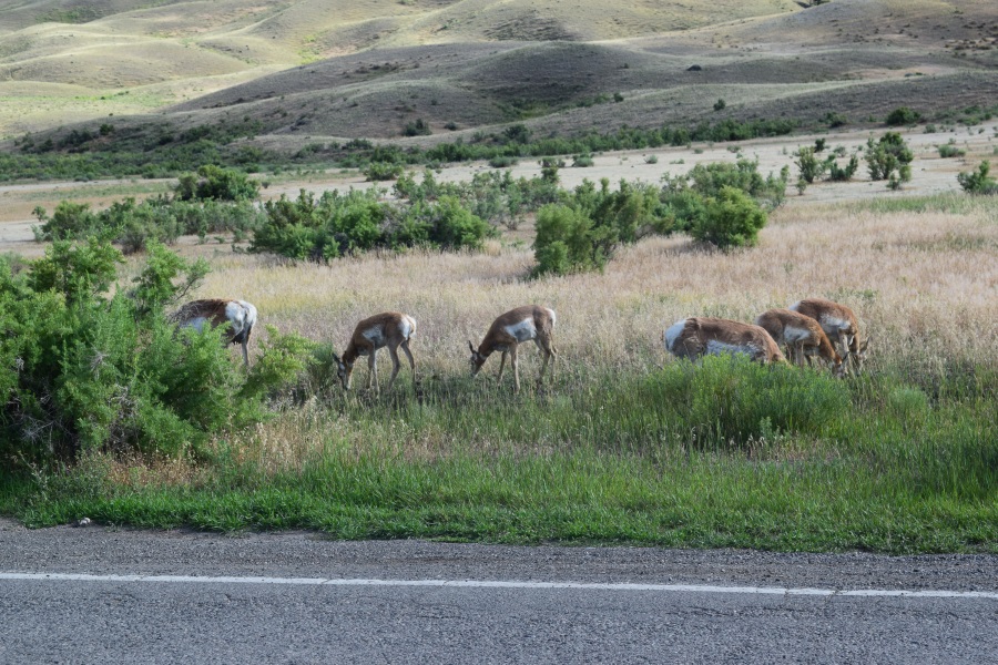
Antelope are plentiful enough to pretty much ignore as well. However, something about that last one we passed made me stop and looked again. Sure enough – I even had to back up: “look, they’re fighting!” It was two males, antlers entangled, grappling back and forth. We were down-wind, and these two were SERIOUS with each other. We watched and took pictures until we were bored, and they were still going back and forth – first one, then the other, looking like they were going to win the fight. I knew we’d see wildlife, but to see wildlife in action like this, well… I was just beside myself. The rest of that road had no potholes in it, I don’t think. Or if it did, I didn’t notice/care. What a perfect detour. I’m glad I didn’t know that double grey lines meant dirt road.

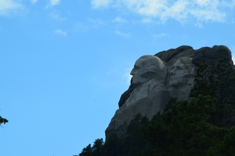
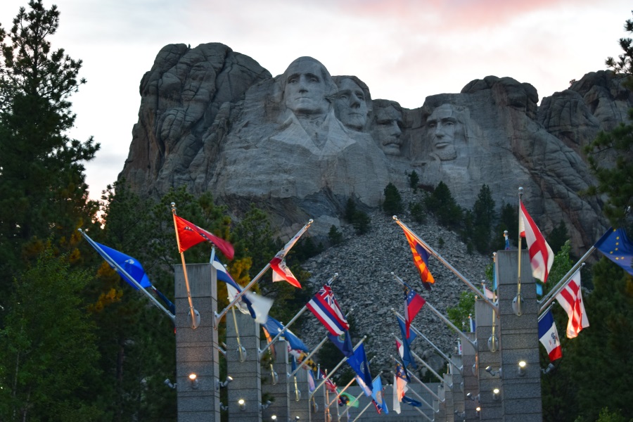
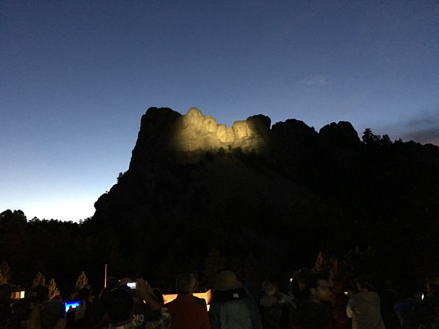
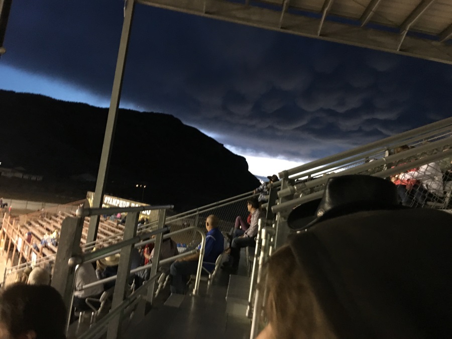
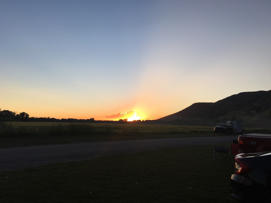
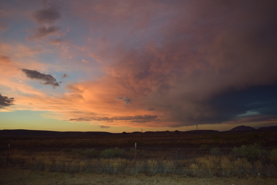
Well, we crossed some more beautiful country (of course) and checked in at our campground at Rushmore, which had no cell service, no water, and no electrical hookups. We fired up the generator (like other visitors) and made dinner. Then we drove over to Rushmore itself to take a picture at sunset and see the light show. The show was NOT what I expected. I thought it would be lasers and music, etc. Instead, they shined a light on the faces so you could see it at night, and they did a little talk at the amphitheater to acknowledge veterans – which was very cool, yes, but not what I expected, that’s all.

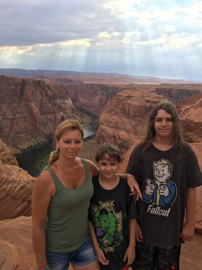
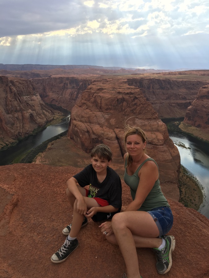
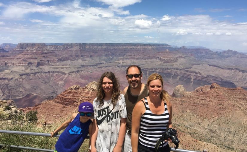
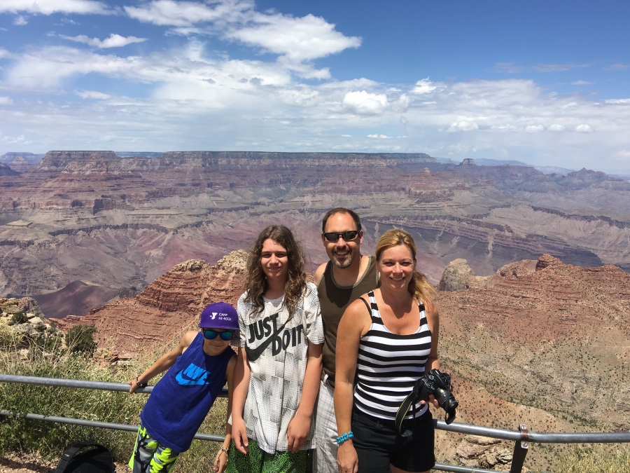
The boys and Cheryl were quite impressed by Rushmore, though, and again appreciative that we visited. So it was perfect.

Travel Day #6: Road to Yellowstone

That was a lot of miles. We started perfectly time: rolling out of the campground by 7am. We had taken “conservationist” showers the night before, because we were at a place with no plumbing hookups, if you recall.  To do a “conservationist” shower, we start the water, get wet, flip a switch on the nozzle which blocks the water, soap up, and then flip the switch to rinse. It uses very little water.  The 6 gallon gas or electric heated hot water tank is perfect: enough hot water for each shower, as long as you give it about 5 minutes in between.

I was glad to be in line at Jewel Cave waiting for them to open the ticket window, because we were able to get into the first tour, again.  Unfortunately, it wasn’t until 9:20, so it would throw us off the schedule. On the positive side, it gave us time to fire up the generator in the parking lot and run the microwave and toaster so Mom and the boys could have a hot breakfast (fresh fruit for me).

In Jewel Cave, calcite crystallized as water evaporated away, covering 90% of the surfaces several inches thick. Disappointingly, the crystals are never sparkling, as they are covered in a layer of dust or whatever. Oh well.

We left Jewel Cave a little bit later than my schedule called for. In addition, the location for Devil’s Tower that I had based everything on was totally incorrect. We still took our time with it, though. After a nice conversation with the policeman who was overseeing the parking, we departed to visit the gift shop Sean had spotted just outside the park. Thankfully, he was quick to find his Davy Crockett hat, because while I was in the parking lot, I reviewed our plans and noticed that we were 1.5 hours behind schedule PLUS at least a half hour away from where our schedule was based on. The problem: Ponderosa RV park in Cody, WY closes at 8pm, and the rodeo down the street from there starts at 8pm. Since the rodeo happens EVERY night in the summer, I imagined it could be very long.  I didn’t want the kids to miss it. That was the whole point of staying in Cody.  We’d have to Fort Phil Kearney Historic Site and make a SCUD run to Cody….

We had 4 hours to go ~250 miles, but I was low on gas. Filling a 50-gallon tank takes a while, too. I’m glad I’m not worrying about gas mileage; prices are lower than what I figured they’d be, so lower fuel efficiency isn’t going to break the bank. Averaging just under 60mph for 4 hours didn’t seem like a problem at all. We made great time on the open interstate before and after the gas stop. I chose to ignore the GPS across the shorter Route 14 and follow the highway signs across Route 16 since it they declared it was the fastest and lowest grade route to Yellowstone. But when I saw the “lower grade” part, I realized both routes through the Bighorn Mountains had us going up over the top! I configured the GPS to show altitude, and it turns out we nearly hit 10,000 feet!  For a chuckle, I also configured it to show our vehicle as a race car.

The race car worked. We arrived at the campground as they were turning out the lights in the office (literally) and over to the rodeo grounds just as they were finishing the opening ceremony. Mom & the boys were rather road weary, and not looking forward to anything other than going to bed, but I dragged them to the stands, and it didn’t take long before they were really enjoying it. There were only 3-5 competitors per event, and the MCs told jokes between competitors, so it stayed interesting. We also watched some interesting weather blow by the stadium, too.  So we had fun at the rodeo… a lot of fun, really!

Days #7 & 8: Yellowstone

Although the prior day was long (7am to 11pm) and we’d achieved a lot of hard earned miles (about 400), we had seen some great things, and everyone was in good spirits and ready to see some more cool things. We were now quite close to Yellowstone, and even though nobody else really knew anything about the park, they all knew it was billed as the more significant destinations of the trip. To warm up the day, we made a brief stop at the Cody Dam less than 10 miles out of town, before achieving Yellowstone’s East Entrance. Mom was wondering if she’d see any buffalo. Sean and I were keeping a little secret; I’d shared with him that they are plentiful in the park. I was hoping to find a decent sized herd for her, and maybe come close enough to some elk to get some good photos. While we never found a buffalo herd, we did find 3 different solitary males.

We visited the park for 2 days, staying in Montana about 30 miles from the North Entrance in between. Great campgound on the edge of the Yellowstone River. The boys had locally made ice cream that night, and and found themselves in a bit of silly mood after dinner. Mom & JT walked the riverbank the next morning while I showered and got ready to head back into the park. We weren’t in a hurry to depart that morning. We’d had such great wildlife views the first day and experienced so many of the different geysers, vents, and other hot spots, that I knew it was more important to just have a leisurely visit than it was to cram in as many more geological phenomena as possible. Besides, the boys were really not enjoying the heavy sulpher smells. But at least they learned why the rocks are yellow and where the park got it’s name. We did stop at a few odor-free hot spots, but our main destination was the one obligation of the day: Old Faithful. It doesn’t show off as regularly as it used to, but they’re still pretty good at predicting it. We joined the thousands who enjoyed the 4:09pm eruption. Before and after, I had a nice conversation with an alumnus of my alma mater (identifiable by his t-shirt) which I considered quite a coincidence, as I went to a small college in central Maine – a long way from Northwestern Wyoming!

On our way out of the park, we stopped at a pull-out and set out our lawn chairs and had a beverage in front of a wonderful view. We made it out the West Entrance and over to West Yellowstone, MT early enough for Mom to do a couple of loads of laundry and for me to figure out how to get the oven working and then cook us up a Stouffer’s chicken parmesan dish. It sure didn’t compare to Mom’s home made version, but it hit the spot for all of us. We also went to bed heartily satisfied with our sightseeing accomplishments, too. In fact, Mom said she was happier to have seen the bull buffalo up close than she would have been if she’d seen a whole herd in the distance.

Travel Day #9: Idaho

Staying at the Grizzly RV Park just West of Yellowstone, the boys could
see the high ropes courses of “Yellowstone Aerial Adventures” across the
street. I thought they’d really love that place, and so I’d reserved 5
hours of this day for them to play there. I thought we might also use
the time to see more of Yellowstone, if needed, too. But the boys were
not at all interested in either, so we slept in and decided our first
activity would be to wander into a grocery store for a loaf of bread and
some ground beef. One hundred dollars later, I’d determined that the
“food buying” rate is faster than the “food eating” rate. Yikes. But,
the kids are also having fun buying sodas (called “pop” here) that they
aren’t normally allowed to have at home. We’ve gone through Squirt and
Dr. Pepper, and now we’re on Sunkist.

After jamming our booty into the fridge/freezer in the RV, we headed
over to the only other real attraction I had planned for today: a place
called “Big Gun Fun” whose website advertised and indoor gun range with
weapon rental and individual instruction/supervision for all ages (8 to
80). We were promptly informed, though, that the minimum age is now 12,
which sorely disappointed a certain 11 year old. More than disappointed,
he was quietly furious about it. However, while I had previously thought
this was a pretty unique offering, I had actually spotted similar places
earlier in our travels, so I promised him we’d find some other place. I
stepped outside and quickly found a place in Utah that will allow him to
experience a .22 pistol with supervision. So Mom and I proceeded with
our plans here. We chose a package where we could each shoot a couple of
handguns and a machine gun. Although both of us have shot guns before,
we could each tell that the other was rather nervous, and the fact that
we both had trouble hitting the 25-yard targets was proof enough. I did
score a bulls eye, but I’m sure if we tallied the scores, Mom did better.
Before it was done, we each got to fire off a handful of rounds in full
automatic mode, so… it was the experience we’d hoped for.

After having our fill of the smell of gunpowder, we mounted the RV and
sauntered into Idaho to lunch in the parking lot of the Mesa Falls
visitor center. What a GREAT place! Though we only had 2 hours of
traveling scheduled for the whole day, I had really only put the stop on
the agenda is a minor leg-stretcher. In fact, there was a whole “hands-
on” exhibit in the Inn-turned-visitor-center. We particularly enjoyed the
two-dozen different animal pelts. Now we know why mink coats are so
unpopular – those little critters aren’t much bigger than a mouse! The
Upper and Lower Mesa Falls were awesome; the evidence of the lava flows
25,000 years ago are quite obvious and impressive; and the 2 mile hike
was flat, easy, and filled with a variety of flora. It was a nice visit
at a beautiful spot.

Passing some wonderful Idaho scenery and arriving at the campground
early, Mom whipped up a “Hamburger Helper” dish while I made a small
repair to the window screen next to Sean’s bunk. Then, we closed
ourselves in, turned on the air conditioning, and, for the first time,
all sat at the dinette to eat. Normally, we eat at the campground’s
picnic table, but we were in the direct sun, and it was really cooking
us even though the temperature was only in the mid-eighties. After
diner, Mom and I walked down to the barn at the edge of the campground
where they are preparing for a wedding that will take place the next
day, and then we returned to take in the sunset. We’ve had a stressful
moment here or there, but in all, that sunset has sent 4 very happy
people to bed every night.

Travel Day #10: Utah

You’d think that the summary “600 miles” would tell you exactly how our day went: sitting in the RV, sitting there some more, buying gas, and sitting in the RV even more. Well, I suppose that’s true, but it didn’t really feel all that monotonous and boring. First of all, there was plenty of good scenery, and we made a couple of stops that broke up the trip quite nicely.
We left the campground a little bit earlier than scheduled because the first stop was not on the itinerary: a gun store about 3 hours away that would let Sean use it’s basement range. We rented a .22 revolver and a .22 rifle, bought a box of bullets, and paid the range fee, all for less than $40.The revolver was probably a poor choice, because the dual action trigger was pretty hard for him to pull. He did well with it, though, but once we switch to the semi-automatic rifle, which was built to look like a military style AR-15, he really started to have fun. He burned through a box of 50 shells in no time, hit a couple of bulls eyes, and basically just wore his index finger right out. On his way out the door, he scooped up some of the various brass lying on the floor as a souvenir. On our way back to the highway, we dropped Mom at Super Walmart to buy more things we probably don’t need, and then I had a week moment and allowed the kids to get some fast food. They’d spotted a place called Carl Jr’s which they’d heard tales about on YouTube, and wanted to try. We got 2 buckets of soda and two sacks of greasy goodness for the road, and rushed back to pick up Mom. (I do try to avoid eating fast food, and, besides, the less I eat, the easier it is to stay awake on long drives.) We timed the scoop in front of Walmart nicely, so that we wouldn’t block the parking lot, but we’d later find out that Mom may have left one of her bags of items at the checkout, because she had to eat cold cereal out of a plastic cup instead of a paper bowl the next morning. Anyway, back on the road, the lunch bags opened, and I’m pretty sure the boys enjoyed their cholesterol/sugar/calorie pellets, because there were an uncharacteristic 3-4 quite moments in a row, and no complaints or leftovers.
The speed limit back on the highway was 80mph: Interstate 15 in the “Las Vegas” direction (330-something miles away). I couldn’t help but wonder if the Las Vegas Chamber of Commerce made a big donation to the LDS church to have the mileage countdown to Sin City start so far North? Anyway, it kept us occupied taking note of each sign, but I did have to insist, for the first time, that every help me stay awake by coming up to the front and playing a game of Uno with me. They may have let me win just to get the game over with, but it took away the drowsiness. I also kept us as close to the speed limit as conditions would allow, just to keep things moving (literally and figuratively). That worked until I had to make a gas stop, anyway. Stopping at a convenient Texaco station, I was at first a little displeased that the choices were 85 and 88 octane, as opposed to the typical 85 and 87 I’d been seeing lately. I’m not sure anyone actually buys the 85 octane. The first time I saw it, I realized it might just be there to provide the station the opportunity to put a low price on their roadside sign, as they all only show 2 prices: diesel and lowest unleaded. It wasn’t until I had already spent most of the $100 pump limit that I noticed the sign that said “10% ethanol.” I really don’t think it was just my imagination that the rest of the day was like driving with two flat front tires, the loss in power was so noticeable. Ugh.
However more slowly, we eventually made it to Cove Fort Historic Site, which is a stone encampment built in the 1870’s as a stagecoach and telegraph station safe from Native American attack. The location was chosen at a 30 mile interval along a well-traveled route – so well traveled that, apparently, it’s now called I-15. In those days, though, 30 miles was about as far as a stagecoach could go in one day, and it’s also about as far as a battery powered telegraph signal could reach. The fort was impeccably restored and maintained, with many authentic artifacts or realistic recreations. Every visiting family is given a private tour, and in a very short time, we really felt transformed to a different time and place, partially because we were in the midst of our own long journey, too. The fort was built at the request of Brigham Young and financed by the Church of Jesus Christ and the Latter Day Saints – I knew this before we got there, and, fearing lectures and conversion attempts, I almost aborted, but I trusted what the always-accurate internet said about how the tours are simply the history lesson. the internet did prove mostly trustworthy in this case. Our guide, who introduced himself with his church title (Elder) and last name, instead of his first and last name, did ask our permission to give a little bit of a sales pitch and a copy of the Book of Mormon at the end of our tour. As someone who’s college major was Philosophy, I’ll admit that he’d piqued my interest enough to be willing to take a copy in case I ever have a free minute to read a few pages and see what so many people have found to be so compelling. Mom, on the other hand, asked, with obvious disgust, something to the effect of whether polygamy was still practiced. Our guide was happy to inform us that God told the LDS president, coincidentally around the time the US government declared the same thing, that polygamy was no longer allowed. Therefore, those that do still practice it are in violation both of the law and the church. He also told us that several important biblical figures had multiple wives, and we wonder if this is true; we haven’t had a chance to research, yet. All four had some interesting conversations for quite a few miles thereafter, until we couldn’t resist talking aobut the scenery, instead, when it became so striking as we got closer to Zion and our campground for the night. We arrived with enough light and energy left to cook some hamburgers and hot dogs on the Coleman grill, shower, and head to bed.

Travel Day #11: Zion

For the first time since Seattle, we stayed in the same place for two nights. Day #11 had only one planned activity: hike “The Narrows” at Zion National Park. While there are 8 different shuttle stops from which to start park explorations, I had us going straight to the last stop for one of the more notable attractions in the park: where the river enters the park from the North via a slot canyon. Between the name “The Narrows” and the term “slot canyon” you’re starting to get an idea of what we experienced. Add to that image the pictures of a severe clear sky, 100+ degree temperatures, and alternatively desert and marsh surroundings (depending on our proximity to the river).

Disembarking our propane-powered government jitney, we followed the crowds along the paved path North from the bus stop, deeper into the canyon. It was an easy, relatively flat walk which was made easy because Mom had struck up a conversation with a young couple, relocated from Seattle to the Zion area, who were taking their 4-month old baby and a visiting Texas friend on a visit to the park. Much like the Badlands, once the walkway ends, visitors are welcome to continue deeper into the canyon via whatever path they choose. There is only one choice, though, and that’s to walk through the river. The canyon is only about 20-30 feet wide, there, and even at it’s lowest times of the year, like now, the water spans from one canyon wall to the other. Against our desert-heated legs, the water was rather cold, but not unwelcome. The air temperature was already more reasonable, too, which I think energized us all. Around the first bend, dry riverbeds could be found near one canyon wall, the other, or sometimes both. Then we had the choice where to walk, but, still, many river crossings were required. I had prepared everyone for this; we were all wearing shoes and clothes that we didn’t mind getting wet. It wasn’t hard to get used to the terrain, and so we marveled at the water-carved limestone walls for nearly 3 steady hours of up-stream travel!

We hiked without the camera to avoid accidents. I only brought just one cell phone for pictures, which I double-sealed inside two Ziplock bags, just to be overly cautious. I had two backpacks full of water bottles and water-tight snacks, and Mom had one, too. When we’d hiked as far as we wanted, we stopped and had a snack. It was a sandbar near a deep part of the river where we were actually able to take a swim, too. While everyone else relaxed in or near the water, I walked a little farther upriver just to see around a couple of more bends. I contemplated doubling back and urging everyone else to come and see these new sites, but I remembered that every turn hereto had been new and interesting, as well, so there was no point ruining the outing by over-extending anyone.  Although the boys were begging to return to the RV quickly, they still tarried a number of times to scramble onto a rock formation, play with some rocks, or splash in the water. We didn’t rush them.

I’m not sure what time we boarded the return shuttle bus, but the 3 boys each used some of the 40 minute return trip to take a nap. Mom stayed awake by thinking about the brew pub she’d seen between where we parked the RV and the park’s entrance. We treated ourselves to a cold beverage and a plate of nachos (made with homemade potato chips instead of tortilla chips) before returning to the campground. Once back in our spot, I met the new neighbors, who were a nice family from Germany, and made dinner while Mom did a load of laundry. Mom & Sean found a bundle of firewood and some marshmallows at the camp store, so I invited the Germans over after dinner. They seemed eager enough, and even brought some popcorn to share. JT and Sean talked to the son (14) and daughter (15) while we talked to their parents. It was rather interesting, as the father spoke English very well, but the mother did not. They are both grade school teachers at home, and the mother happened to be a French teacher. So, between our English and French, and their English, French, and German, we had a nice visit, having made a second set of new friends in one day!

When The Wheels Fell Off (aka: Travel Day #12: Grand Canyon Part 1)

It’s not like the whole trip has been 100% lollipops and pretzel sticks.

For example: the other night, I connected the poop pipe to the RV and opened the valve. Yea… still holding the opposite end of the poop pipe in my other hand, not connected to the chute! Before the sludge could travel through all 6′ of the hose, I remembered that it’s a gravity fed system. I quickly raised the open end as high as possible, and had Mom prepare the connection to the sewage system for me, so I could attach to it before disaster struck. There was no Robin Williams RV moment, thankfully. For those of you still hoping, there are many more hookups to come, and anything can happen when we’re tired (which is every night).

Because of my near disaster, Mom has fired me from sewage hookup duty. She’s also taken over because I teased her on Facebook about it. I happened to let the whole world know that the first picture of her doing the sewage duties was merely a setup, and she was just watching me “to learn.” She insists that I set the record straight: she’s been doing those hookups for real, lately.

I expected there would be times when we’d have traffic problems, we’d miss a turn, or even get a little lost. Actually, these have not been frustrating at all. The frustrations have come from temporary episodes of lost artifacts (cell phone chargers, camera, sunglasses, wine glasses), though minor. The more significant frustrations are during times of sibling squabbles. But it wasn’t some small tiff that caused the doors to come off.

I had wanted to leave Zion via Route 9 East because it’s a scenic trail and gets us to the Grand Canyon (North Rim). It starts with a tunnel for which oversize vehicles like ours need to purchase a permit and can only go through during certain times of the day (when people are present to stop oncoming traffic). I had planned to leave early in the morning to get to the tunnel shortly after it opened, because I didn’t know how long the wait would be. The prior day, though, I had learned that the wait is never more than 10-15 minutes, so I let everyone (including myself) sleep in a little bit longer ( my 1st gratuity for the day).  By the time we left, Sean was even still asleep (my 2nd gratuity).

The departure route turned out to be fantastic. We were treated to new and fantastic views as we snaked up the canyon wall to the tunnel, and then a whole new world on the other side of the tunnel with some incredible views there as well. We even saw two small groups of bighorn sheep, which was rather unexpected. They seemed to be enjoying watching the passing traffic just as much as the traffic was enjoying watching them. I’m sure they are waiting for a big RV full of vegetarians to be so distracted by their presence that they drive off the road, spilling the pantry contents in some easily-sheep-accessible location. It could happen, right? The road IS narrow, windy, and without guard rails (they haven’t been invented anywhere in The West, yet).

Canyon views, tunnel, winding turns, sheep… Sean still slept and JT distractedly noticed… maybe, and I didn’t force him (gratuity #3).

When we arrived at the entrance to The Grand Canyon National Park, both boys were neither excited nor interested, and not even slightly cooperative for our picture under the welcome sign. If you look closely, you can see their enthusiasm (lack thereof) in the photo.

Yes, we’re talking about THE Grand Canyon. They put the word “Great” in the name for a reason, right? People come from all over the world to see it because it’s something rather amazing, right? Dad hasn’t steered anyone wrong, yet, has he (#4 through countless)? Every single stop so far has been at least mildly interesting, right? Is there any real chance that The Grand Canyon is anything less than a mildly interesting destination?

And, come to think of it, how is it possible that we STILL haven’t learned that getting immediately out of the RV and posing amicably for photos is the fastest way to get the photos over with? Oh, and all the behavior had to take place in front of the Southern family who took our picture – a nice little all-girl family with angels for daughters who had to miss countless moments of their lives waiting for both our sons to get close enough together so the mother could take our picture. I’m sure when that family returned to their RV, the mother raised her daughters’ dating age from 25 to 32.

Sometime between climbing into the RV and pulling out of the turnout, all of these thoughts overcame me in the same moment, and that’s when I “blew a gasket” and “the doors fell off” (to stick with the motoring metaphors). I immediately regretted letting Sean sleep through the morning drive and letting JT immerse himself in the cellular connection that he hadn’t had for two days. I got frustrated; I got angry; and in the moment, a cuss word might even have slipped out… or, rather, gone out intentionally for effect.

A couple of iPhones were confiscated. Mom and I resolved that if the boys were so insistent on acting like they didn’t want to be on the trip and a part of the new experiences, then we’d treat them that way. Maybe I resolved it and Mom went along without protest because she could see I’d already burned through my collar. There was total silence in the RV all the way to the parking lot. Without asking them to, the boys maintained a 15-150 foot distance behind us for the rest of the visit to the park. That allowed Mom and I to compare levels of awe for that little hole in the ground.

About 75 miles away from the North Rim (if I remember it correctly) the road to the South Rim dropped sharply into an expansive valley on the Navajo Reservation.  Across that valley, the Vermilion Cliffs National Monument, like the bighorn sheep, also attempts to lure drivers off the road with its 15 or more miles of incredible cliffs all prominently visible. We stopped at a pullout so Mom could take a picture, and the boys continued to sulk.

Undaunted by our apathy and unwavering against the temptation to be distracted by such geological beauty, I got our RV down the switchbacks and onto the plain. On the flat/open road, and with a fresh tank of no-ethanol gasoline, I was able to quickly get us around the end of the cliffs and past a few half-horse Navajo towns. (I’ve heard of the “one-horse town” expression, but to better relay the message, I’ve had to adjust it. The first two towns we passed were literally a collection of less than 10 permanently-placed mobile homes, and no more than 2 businesses, besides the post office.)

Not much later, we came to the Navajo Bridge. When built, it was the tallest bridge in the US (in the world?) and the only bridge across within a 600 mile stretch of the Colorado river! The original bridge from the early 1900’s is still there, but, since it wasn’t built for the width and weight of modern cars, a second of identical architectural design was added next to it, and the old one converted to a pedestrian sightseeing bridge. JT and Sean were barely impressed, still trying to sulk and act dejected.  They were, however, I little less successful with their display, as it hadn’t elicited any response from us, yet (and we weren’t going to let it).

Our final stop was upriver from the Navajo Bridge at a place where the Colorado River is shaped like a horseshoe. The picture attached is with a normal camera lens; it wasn’t using a wide angle lens. The bend is just that severe, it almost distorts photos. By this point, the beauty of the sights were getting the better of the boys, and they were starting to show signs of mild interested. As a result, I took the time to explain that the river will eventually wear down the cliff walls and make a straight line for itself, bypassing the horseshoe altogether.

Arriving at the campground a few minutes later, the tense undertones were still present, and I started to get angry again, as well as start questioning whether I had made the wrong decision to drag everyone out here, whether everyone was now at their limit (and what was I to do for the rest of the 5 weeks), and how I had failed to show everyone a good enough time that the had no incentive for self motivation by now. I closed the bedroom door and laid down on the bed as soon as the RV was hooked up, and slept for 12 hours… missing dinner and everything.

Before falling asleep, I decided to wait until the next day, when I wasn’t so tired an emotional, and have a frank discussion with Mom about the quality of the trip, the value of the experiences, the general excitement/interest levels, and whether certain parties (all but me) might prefer to head home at the next available airport….

By the way, parts of the North Rim were closed to the public because of forest fires. Although they are locations with more incredible views, I hadn’t planned to visit them, so they didn’t affect us, but in case you’re interested, updates about the fire are regularly posted on the National Wildlife Coordination Group website (http://inciweb.nwcg.gov/incident/4845) and on the fire’s Facebook page (http://facebook.com/fullerfire).

Attitude Adjustment (aka: Travel Day #13: Grand Canyon Part 2)

Thank goodness this day started with a successful attitude adjusting family meeting. (For those of you who missed the blow out, it’s here). The first agenda item was a tourist trap in Navajo country that had a restaurant, so departure preparations were quick, and the first thing we were able to do was have a nice talk about the parents’ expectations that everyone treat each new stop with a level of anticipation and respect commensurate with the positive experiences we’ve had at *all* previous stops! It rang true!  The boys immediately put themselves to work pointing out the local mansions.

We also noticed a number of local people with a few extra pounds. Once we ordered breakfast, we understood why. JT ordered the blue pancake (made with blue maize). It’s the only restaurant that I’ve been to where the pancake breakfast entree is only a single pancake. It was big enough to use as a flotation device. I got “Navajo Tacos” to sample a regional specialty. It’s an open face taco about the size of a Frizbee. Why so big? Because the shell is FRIED DOUGH! Yes: just like what you get at the fair! And, of course, everything was delicious. Okay, now I understand…. But we dug in without hesitation; we were headed for a hike down into the Grand Canyon!

After arriving at the South Rim, I had to drive past many parking lots before I could find a place to leave the RV. It took us a fair walk and 2 bus rides to get to the trailhead. But I was determined that we’d do more than teeter over the rim. I wanted to get a taste of going down in.

The Kaibab Trail runs from the South Rim all the way down, across a foot bridge, and back up to the North Rim. It’s generally about 4 feet wide and used by people and mule trains. It’s the trail that leads to the visitor center on the canyon floor, and it was specifically built in a place where there is no water cascading down the canyon walls, to ensure that it is available for travel for as much of the year as possible. If you’re not carrying it, you’re not drinking it!

Mom and I repeatedly remarked all day how fortunate we were that temperatures were so very mild. We’d been told that we had arrived in “Monsoon Season” though that word doesn’t seem appropriate for a place that receives only 25 inches of rainfall per year. There were storm clouds around us, and we could occasionally even see rain or even, in the distance, a few lightning bolts. We only dared to go as far as Ooh Aah Point, and it was enough to give us a great in-canyon experience and burn off the heavy breakfast.

That night, we got ourselves half way to the Hoover Dam. I even detoured off the highway and picked up Route 66, instead, to give us a little more of a scenic drive. It was a great day, ending with a beautiful full moon rising above the horizon and boldly visible below the distant storm clouds. What a sky to see; incapable of being captured in our photos.