The Route

The monster planning task is almost done! I’ve marked about 100 things to see/do over the course of our 30-day drive covering ~5,400 miles.
– the flights to/from Seattle are booked
– overnight reservations are confirmed at nearly 2 dozen different places
– equipment has been arriving by mail at the RV (kitchenware, grill, outdoor chairs, etc.).
I can hardly believe it….

I used a website called RoadTrippers.com to map the route.  Since they have a limit of 60 waypoints per map, I had to use two “trips” to cover the whole route. I made the trips public, so you can interact with the map, get details on each of the waypoints, see what days we’re scheduled to be where, and everything.

Click the images below to go to the website and get the interactive map.

RoadTrippers.com Trip Part 1
RoadTrippers.com Trip Part 2

Oh! I made a consolidated itinerary to print and keep with me in the cockpit. At a glance, it’ll tell me what’s next, how far away it is, and what time we need to leave in order to make it to that night’s overnight reservation. If we don’t make it, we’ll have to find a new campground or, more likely: a place to park and sleep (a rest stop, a store parking lot, or the side of the road somewhere).

PDF

All Packed up!

It’s just after midnight, and everyone’s bags are packed and everything on the “To Do” list has been done.

Actually, the bags have been packed for a while, but I left “draining & unplugging the hot tub” as the very last task on the list, so you can guess where I’ve been in the interim.  What a beautiful night out there…! I sure needed it, too, because I’ll confess to some last minute nerves. As far as the rest of the family is concerned, how fun or interesting will they find this trip?

I know what my first goal is. I want to avoid dragging the side of the RV against the edge of the garage as I pull it out of storage. Maybe you’ll excuse me any accident after that, though?

Anyway, the point of this post was supposed to be about our luggage. I researched the airline’s policy, and I see that they’ll charge us $100 for each bag after the first, and for all bags over 49 pounds. I calculated bag weights by using the bathroom scale to compare my weight holding each bag to my weight without, so that I could redistribute weight among bags to get them all under 50 pounds each.  I did notice some excess weight even on the “without a bag” measurement, but that’s only because of my heroism: in the last few weeks, I’ve somehow managed to single-handedly eat all the last bits of leftovers and under-appreciated items from the backs of the refrigerator and the freezer.

Bags. As you might guess: Cheryl’s bag was both over-stuffed and overweight (by about 10 pounds). No, that’s not because of heavy things like a hairdryer and an iron. She felt those were important enough to put in her carry on. Hey, if she want’s to carry all that weight around the airports, and endure the looks from TSA, who am I to argue? Anyway, we redistributed to get her bag within the weight limit.

JT & Sean are apparently wearing the same clothes for 5 weeks, with an occasional underwear change. So they filled their bags with whatever else they thought might be useful: stuffed animals, an extra pair of dirty sneakers, flashlights, a first aid kit, and their Camelback backpacks from Mor Mor.

Carry-ons? If you know us at all, stop and think a moment and see if you can guess what everyone’s carry-on bags contain.  Have you made your guesses? Let’s see if you’re correct. Here’s what each carry-on contained:
Dad: easy one: the family laptop and all the trip paperwork (itinerary, reservation confirmations, etc.)
Mom: 5 pairs of shoes, a hair brush, and a cowboy hat that (worn only once, when she tried it on before purchasing it 2 years ago at the Big E).  Oh – when I saw it, I added my cowboy hat on top of it.
Sean: his summer reading book and as much of Mom’s overflow clothes that could fit without ripping the zipper. Note: I was initially transferring Cheryl’s smallest possible items so the poor guy could actually still tote his carry-on. When I realized what it would do to an 11 year old boy if the zipper opened and a wad of ladies undergarments came tumbling out, I put her dresses in there instead. That’s safer, right?
JT: XBOX. Nothing else. Really. Just his XBOX.

Well… I’m already laughing, so I guess it’s a good start to the trip. Now let’s see if we hit our first deadline: departing the house by 8am.

Many “Firsts”

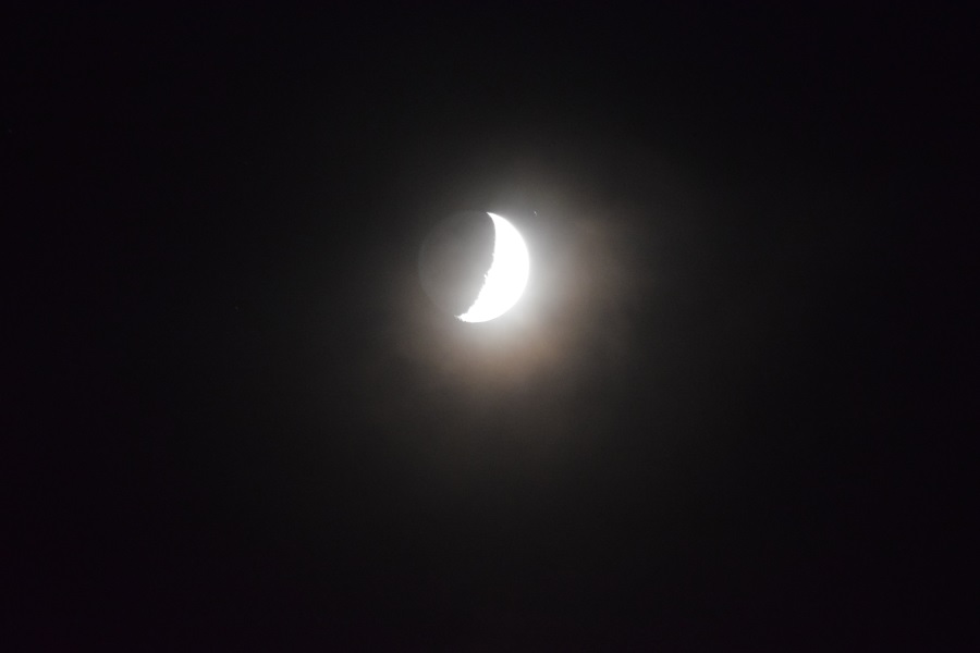
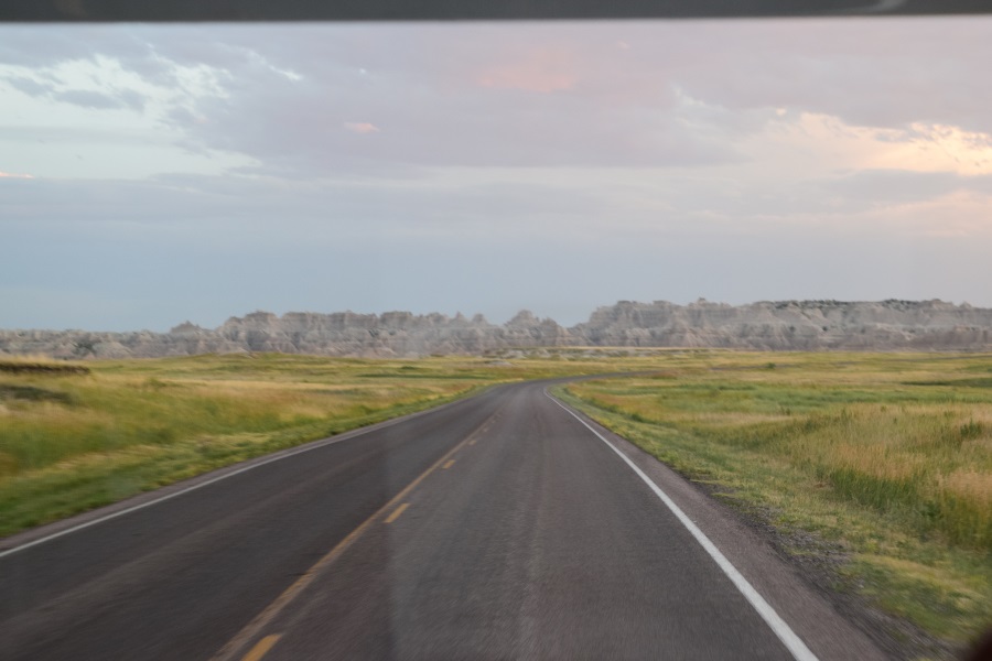
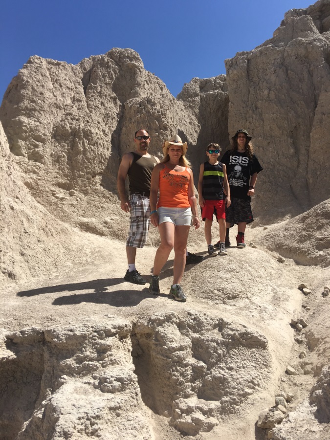
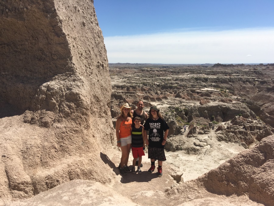
I’ve experienced a lot of things for the first time in the last two days:
1. visiting Washington State
2. arranging a ride with Uber
3. participating in a 13-hour grocery shopping marathon
4. driving an RV
5. parking an RV
6. fueling an RV
7. flooding an RV

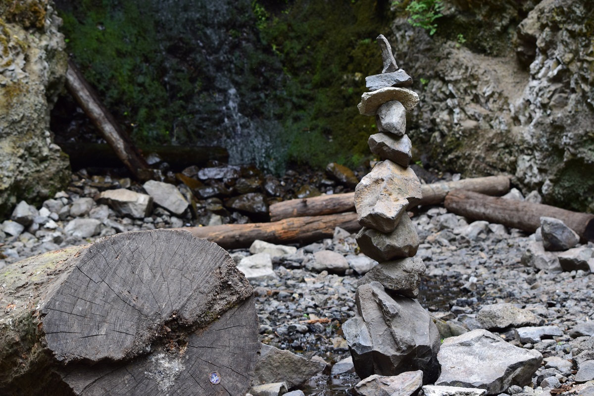
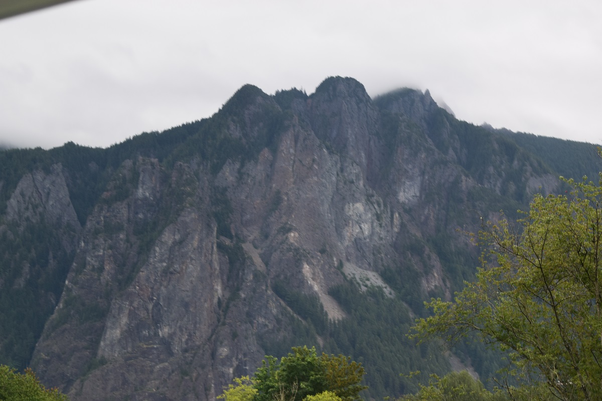
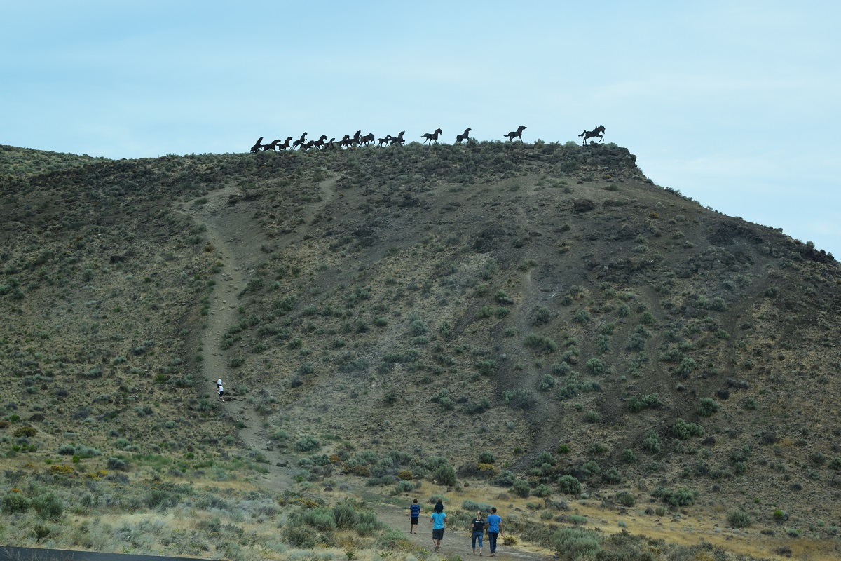
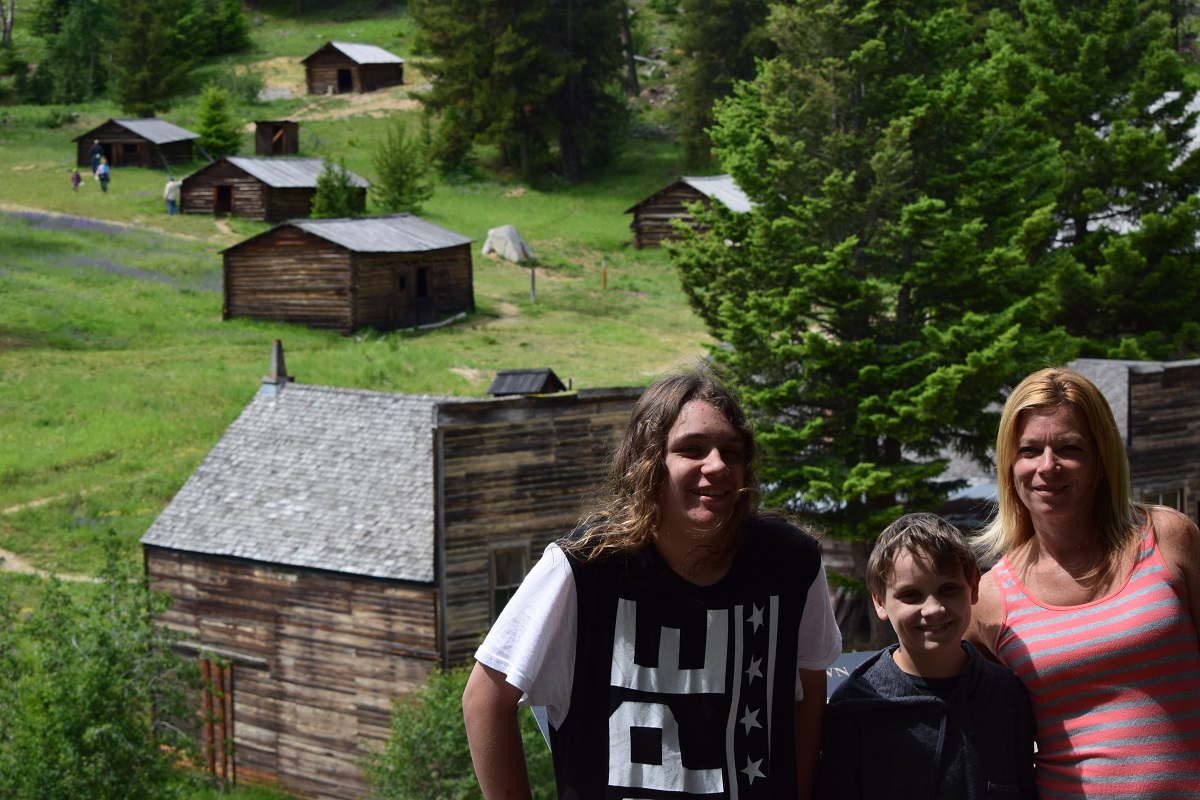
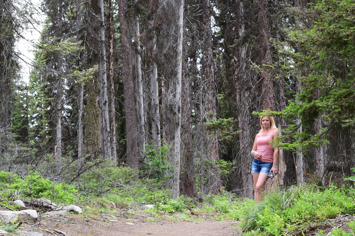
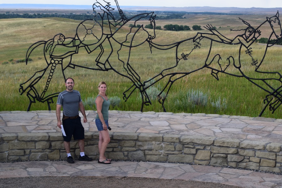
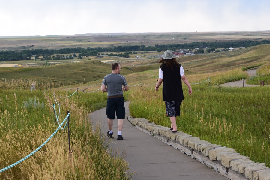
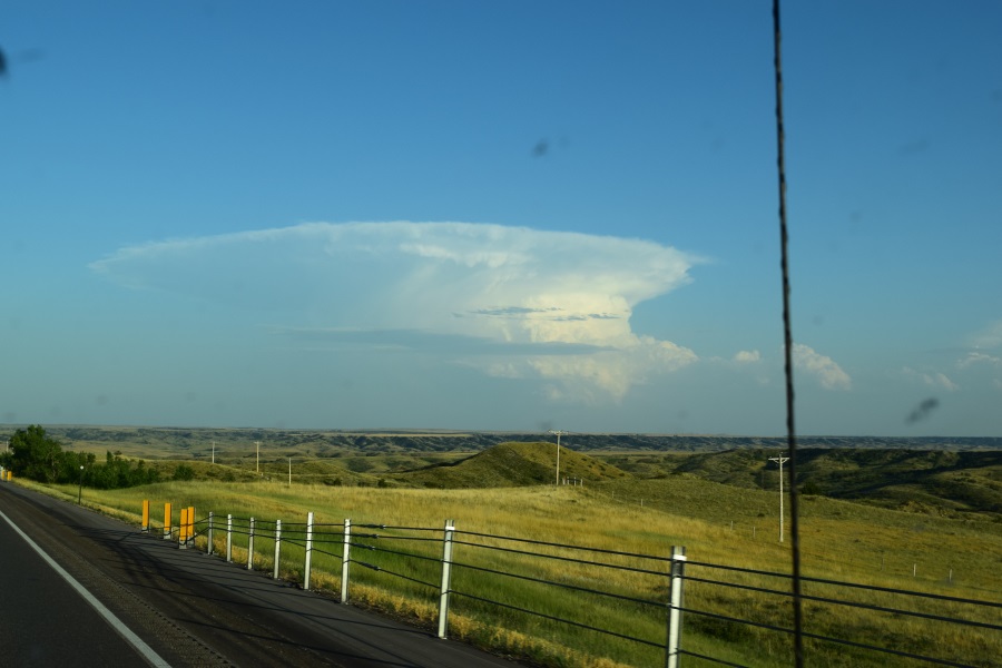
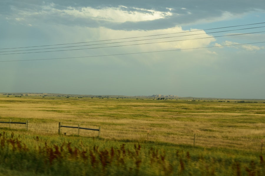
1. Visiting Washington State:  it’s unlike anything I’ve ever seen before, and quite gorgeous.  I’ve heard about the lush greenery and persistent rain/clouds/humidity, but it certainly must be experienced to fully understand.  I got up early both mornings and took a little jog near our airport hotel.  The first day, JT went with me (under duress). We did more walking than running at first, but after we had seen a few curious and unexpected things, he was in good spirits, so we sped up and ended up loping along farther than I expected.  Keeping in mind that our hotel is in what looks to be a depressed industrial section of Kent, WA, southeast of SeaTac airport, here are some of those curious an unexpected things:

WP_000718
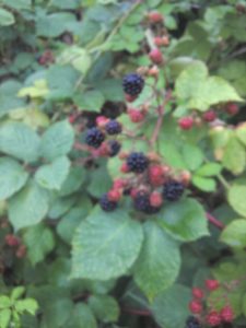
Wild black raspberries – lots of ripe ones, too – but in the oddest place: in the middle of the passing highway’s cloverleaf, by the overpass.  I stopped and picked 3 of the most perfect examples I could spot (I didn’t want to stand there eating a whole breakfast’s worth, else passersby would think I was loonie). I ate one, found it delicious, and implored JT to eat one, too.  Even though he’s seen me spot and eat wild raspberries or blueberries on hikes, he still ate it with surprisingly little hesitation, and also found it to be quite good.  I ate the last one myself as a reward for my stupidity in eating something so probably saturated by carbon monoxide and other road pollution.  As I would discover throughout the day, these things are growing all OVER the place, so much so that people probably forget they are there.

WP_000719
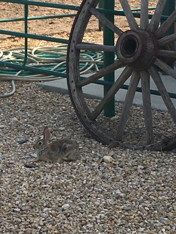
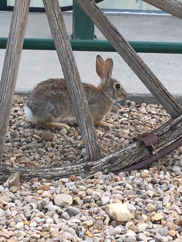
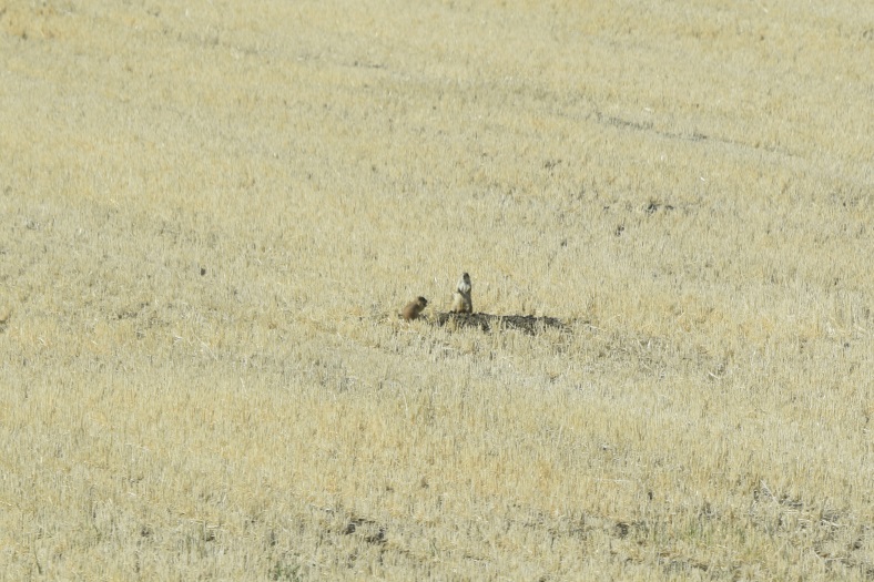
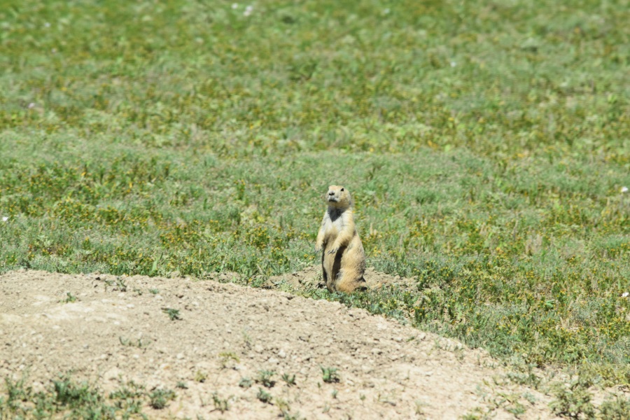
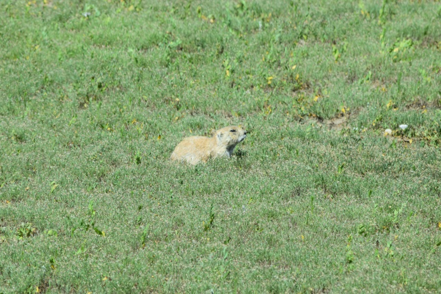
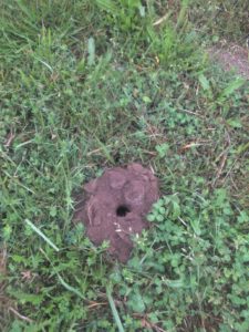
Mysterious holes in a field – certainly made by an industrious burrowing rodent, the empty lot on the opposite side of the highway from the fruit had one of these holes ever 15-20 feet.  But they seemed larger, to me, than the typical mole holes I’ve seen back home.  I took a few seconds to try to spot one of the engineers, and we couldn’t wait around long, so I still don’t know exactly what it was that had requisitioned this space.

• An empty condom wrapper – To be fair, we had already started jogging at this point, so I want call it motivation. And, obviously, this is quite a disgusting thing to find on the side of the road, but the remarkable factor is that JT as the only one who spotted it and, at that age, those things are amusing an any setting, I suppose. When he said “ew, I just saw…” I wondered if would really know what it was. Also, unsure whether he had said it was the box, wrapper, or the prophylactic itself, I asked if he saw the brand. He did, and he named a popular brand. Huh. It’s amazing, some of the things a 13-year old knows. Maybe I can get him to start working on my taxes, too.

Geoffry the Uber Driver was great. Once I broke the ice with a couple of questions/comments, he talked excitedly about a lot of interesting things that I didn’t understand at all because of his heavy Filipino accent. Driver and passenger rated each other 5 stars at the end of the trip.

Grocery Shopping at Fred Meyer was not what I expected.  Woah, back up:

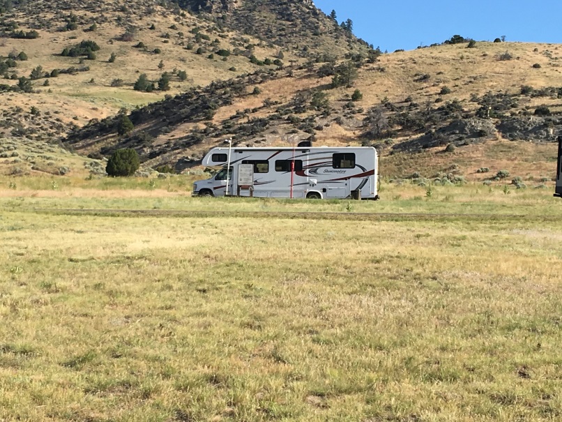
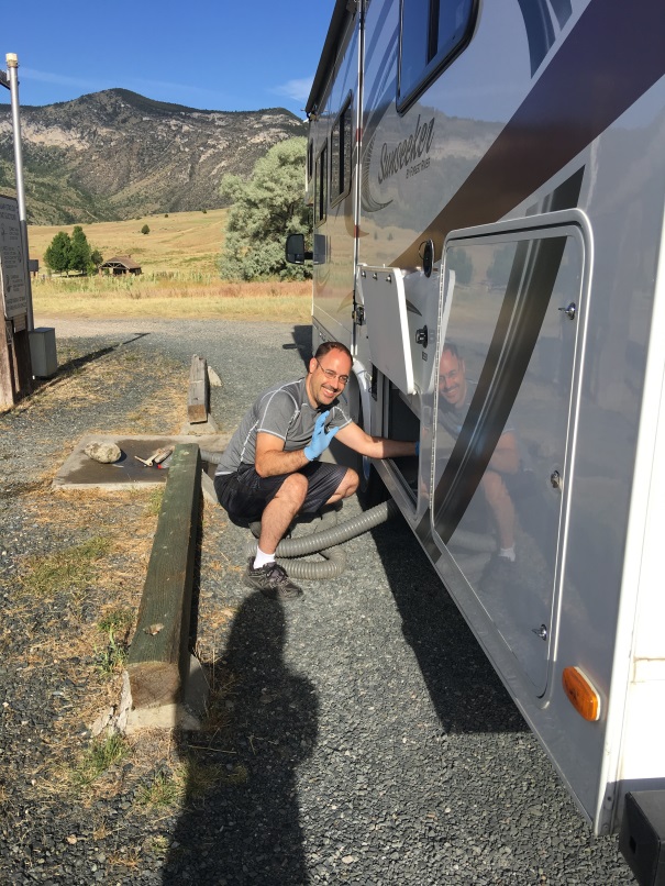
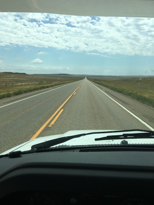
Driving this RV is almost TOO easy!  It’s got so much power, it’s easy to forget that behind me I’m trailing more square footage of living space and food, furniture, and appliances than I had in my college form room – all 4 years combined!  It’s so big that at one point I was so unsuccessful in getting someone’s attention to come help me with directions that I had to start calling cell phones.  And it’s so smooth to drive and tracks so nicely, it’s quite comfortable driving itself while I check the rear view camera, read maps, fiddle with the touch screen, and eat lunch.  It’s a good thing we don’t have any DVDs to put in the in-dash system, or I’d never actually watch the road.  The back end is quite long and low, though.  If you come out of a sides street that isn’t exactly level with the connecting street, there’s a big chance of leaving my signature carved in pavement. That’s only happened 3 times today.  But I’m collecting pavement samples from every state, so it’s okay.  When it’s actually possible to get into such a crooked angle as to avoid it, I make sure everyone in the coach is aware of my success.  Also, with how long it is, I have to be careful about how it cuts the angle on the turns, as well as how much the back end swings into the other lane on turns.  Only once did I run the curb, and that wasn’t my fault, because the curb as that close to me when I started the turn.  And I almost bought a junky old Mustang to the left of me in the Fred Meyer parking lot when I turned right immediately upon exiting my parking spot.  But I caught myself in time and aborted the right turn and went across lanes so I could get to an open area.

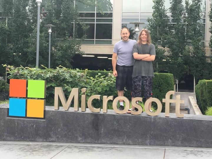
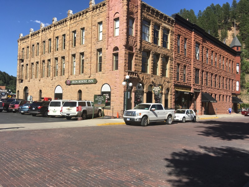
Yea, parking is an issue. It fits very nicely into exactly 2 full length spots. At big stores, this is fine, but the first sightseeing stop on our trip? The nicely partitioned and garden decorated rows of single-car parking spaces at the Microsoft Visitor Center. (Yea, I really ant a Microsoft watch for Christmas, by the way… and a Nokia 950… just saying). And once you’re in the lot and don’t fit, how do you possibly get out? It took a phone call to the people inside. Anyway, we were EXACTLY on schedule with leaving the hotel on time, getting there on time, and then immediately 30 minutes behind due to the parking fiasco.

Anyway, Fred Meyer was a disappointment.  It was convenient to walk over and shop while the RV was in for an oil change before we departed, but prices were high and choices were actually limited. We finally gave up and asked Siri for the nearest Super Walmart.  It turned out to be a regular Walmart with some of the additional things we needed, but not all.  So we had to go to a regular grocery store to round out our pantry, but really only getting a quarter to a third of what I thought we’d buy.  Dropping JT and Mom at the hotel and unpacking my luggage into the camper, I identified a couple of things I thought I had left at home.  Sean and I returned to Walmart, this time the one closest to the hotel, which turned out to be a Super Walmart and had EVERYTHING I needed and wanted in the first place!  *Sigh*

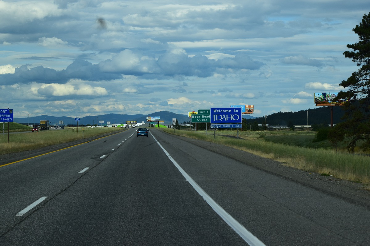
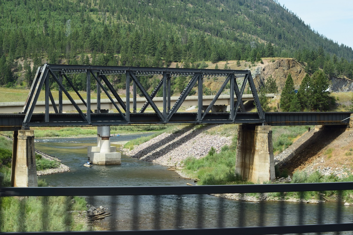
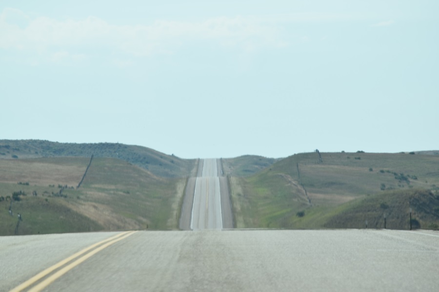
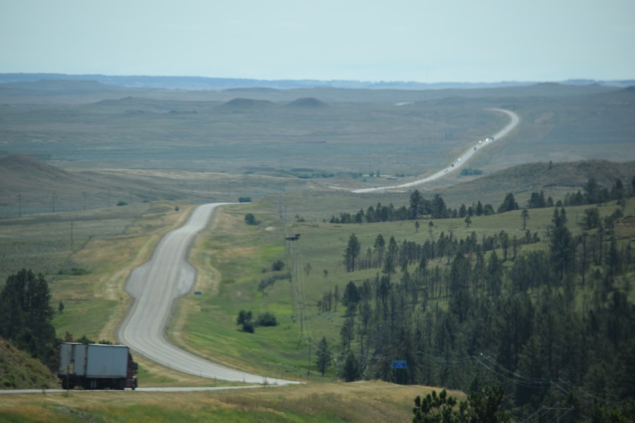
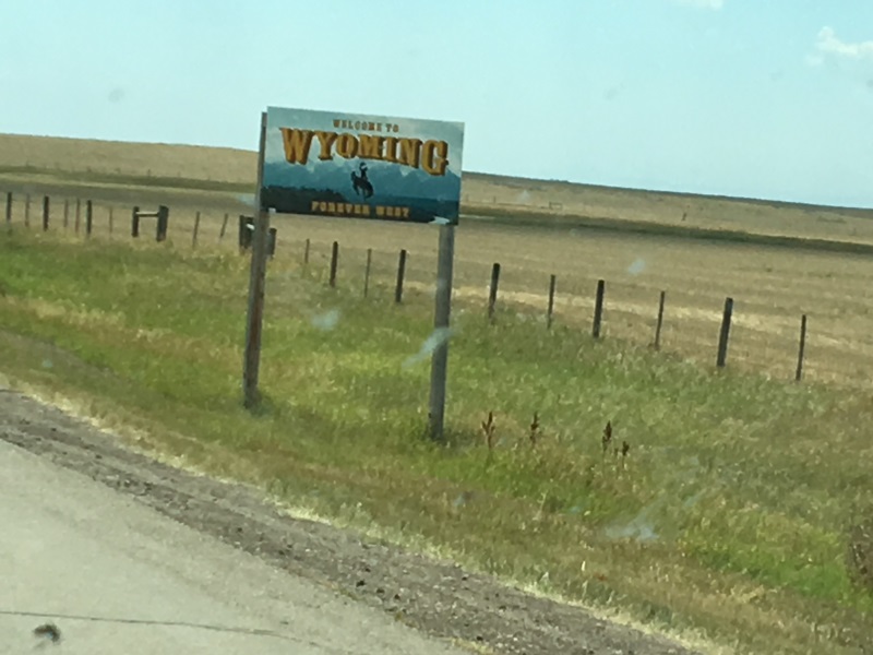
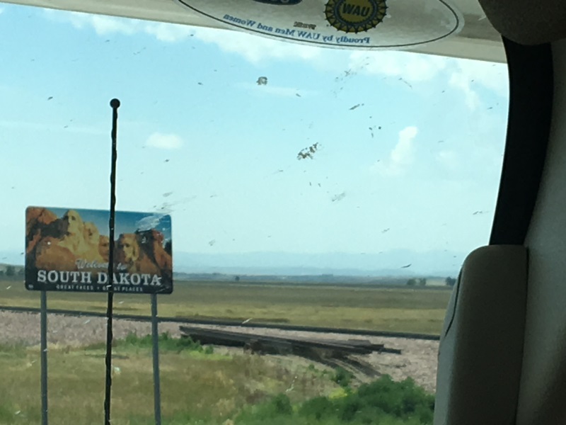
I’ve “only” stopped for gas 3 times.  I didn’t need gas last night after shopping, but I figured I’d start the real trip 100% full, just because.  It’ only took $12 worth.  Then, early today, we had to make a stop for some Motrin just to have on hand.  I picked a large convenience store, and figured I’d top off while I waited and it only took about $12 more.  That allowed me to get all the way to Albert, MT.  Yes, the warning light was on when we pulled in, and all 3 of the exits in the last 40 mile stretch had signs that said “no services” but it was basically 75 miles worth of gentle downhill slope all the way from the “July 4” mountain pass in Idaho to the campground, so Cheryl wasn’t worried in the least.

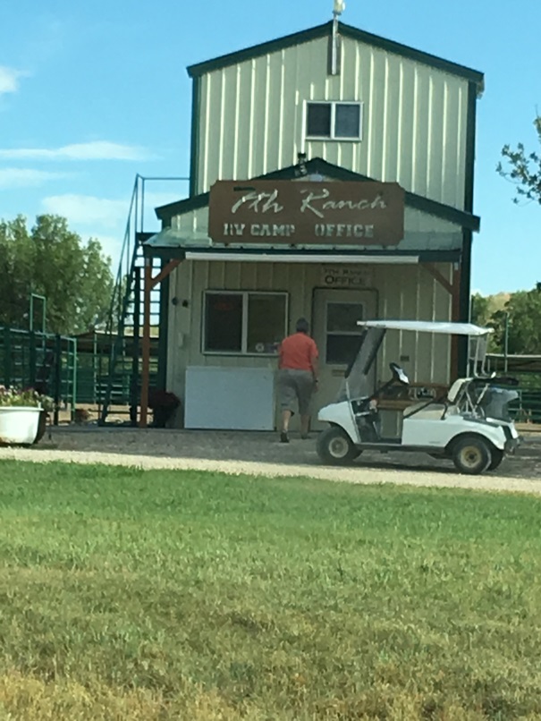
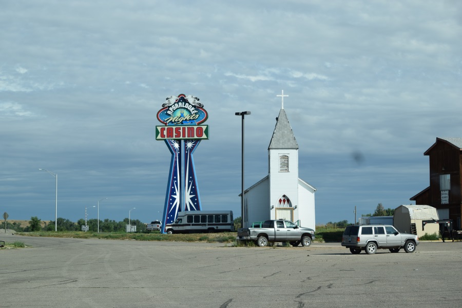
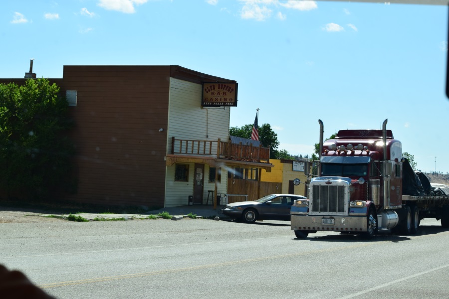
We arrived at our campground at 9pm, with plenty of daylight to do the electrical and plumbing hookups for the first time.  As instructed when I made the reservation, I went into the on-premise bar to check in.  Much to my shock, there is also a casino there (i.e. 3 or 4 slot machines). The bartender was happy to give me a map of their facility, circle my reserved site, and give me misleading instruction for what amounted to driving around the front of the building and turning into the 3rd spot on the right.  Maybe she’s never actually been out back and seen the campsites.  She also happily directed me to the nearest gas station a quarter mile away, over the bridge.

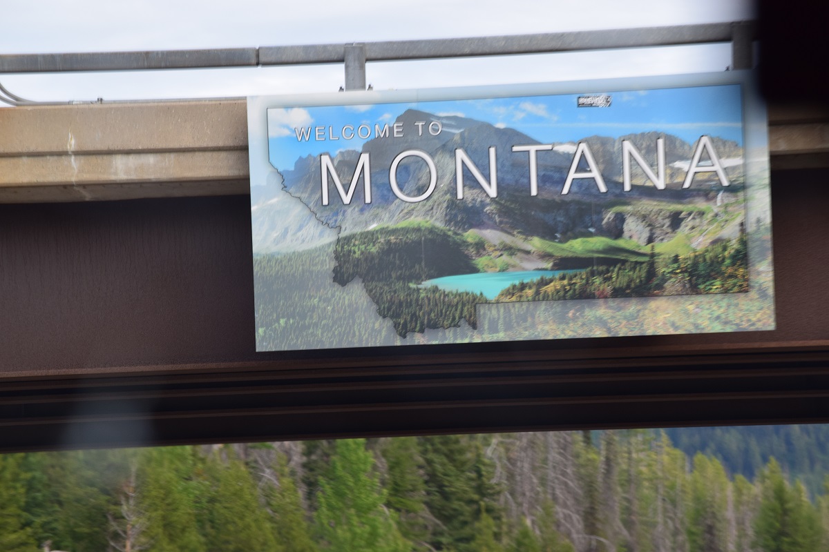
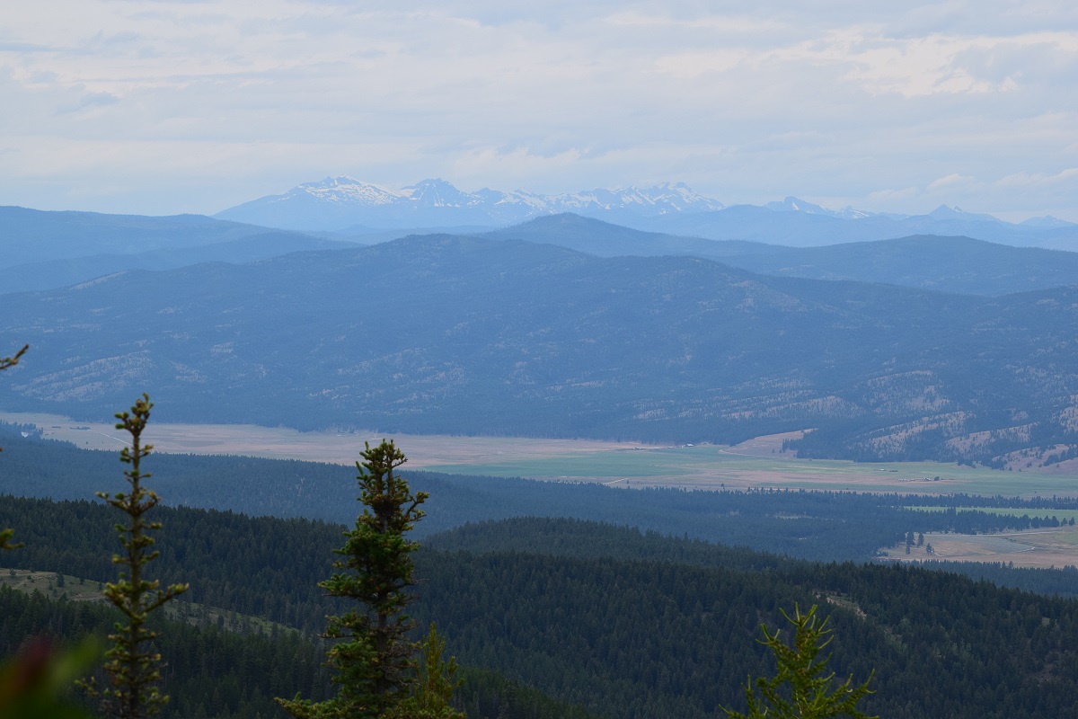
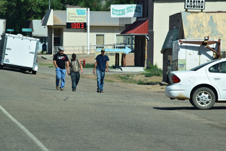
She said even though the gas station is closed (because everything in town closes at 7:00pm) the pumps are on and will still take my credit card.  Everything in town, eh?  That would be the gas station, and… yea, that’s it.  Except it’s called a grocery store, whose fuel pumps in an empty lot across the street.  Oh, and if you buy diesel you can either pat $2.53/gallon or $2.93/gallon, whichever you prefer, depending whether you agree the gas tax or not, apparently. Mind you, this is Alberton, MT.  Look at all that green on the map around it.  That’s National Forest, not civilization.  And nearby towns are called “Riverbend” and “Spring Gulch,” not “Booming Metropolis” or “Suburban Woderland.”  In this town of just over 400 residents, just how often does the county sheriff roll in to check what color diesel everyone has in their road vehicles?  Anyway, after exceeding the $100 limit on the gas pump, and standing there wondering if real tumbleweeds might make an appearance, we finally arrived back at our camp sight, just as the last of the daylight disappeared.

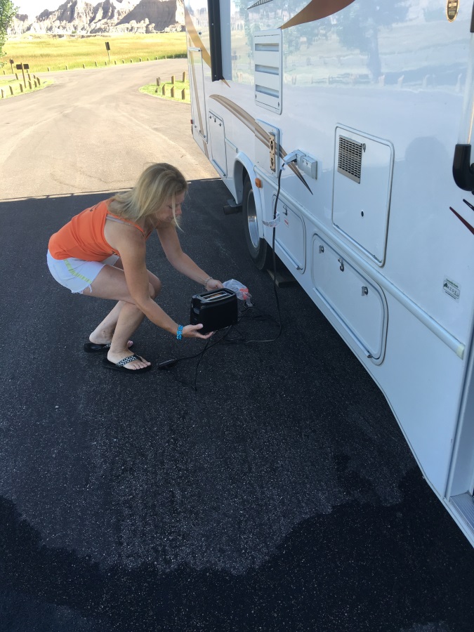
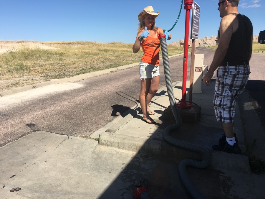
Hook-up went quite well.  Electrical was easy.  Water input was fine, after I corrected the mistake of attaching to the outdoor shower instead of the full system.  We tested inside and had A/C power and running water!  Hooking up the sewage hose went fine, and opening the valves and draining the tanks was going great.  Unfortunately, moments later, Mom started screaming “it’s overflowing!” and “make it stop!”  Fearing we had just started flooding our unit with sewage, I started shutting valves and things in a hurry.  By that time, she’d spotted the problem.  The bathroom sink she opened to run the test was never turned off, and since its drain was plugged to block fumes during storage, it had now overfilled its basin.  That problem was solved and mopped up in no  time. Whew!

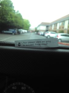
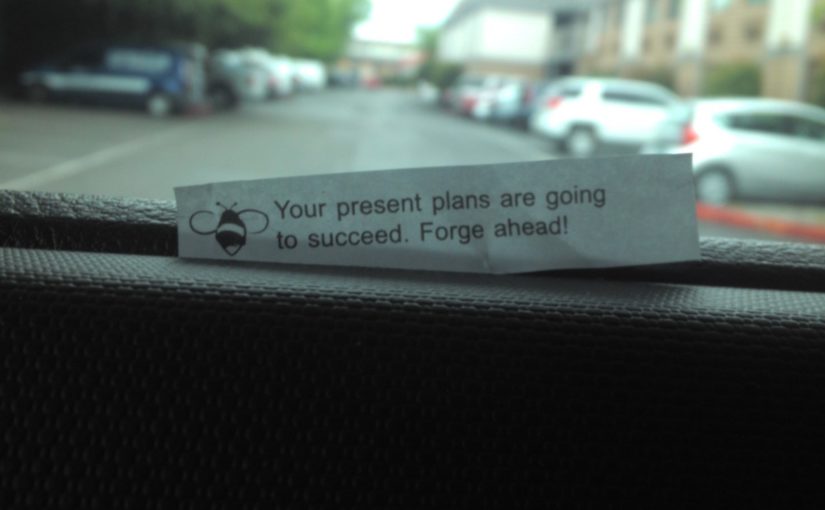
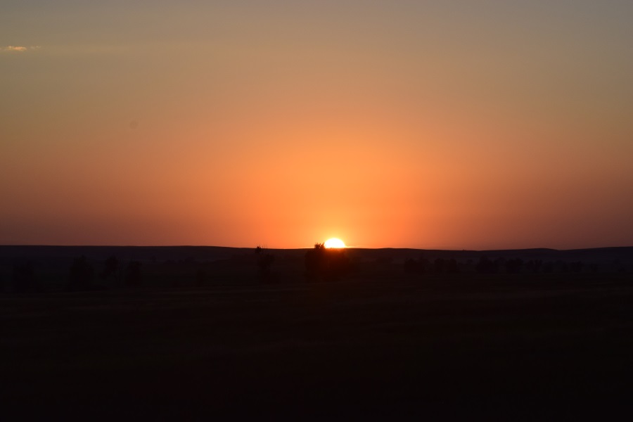
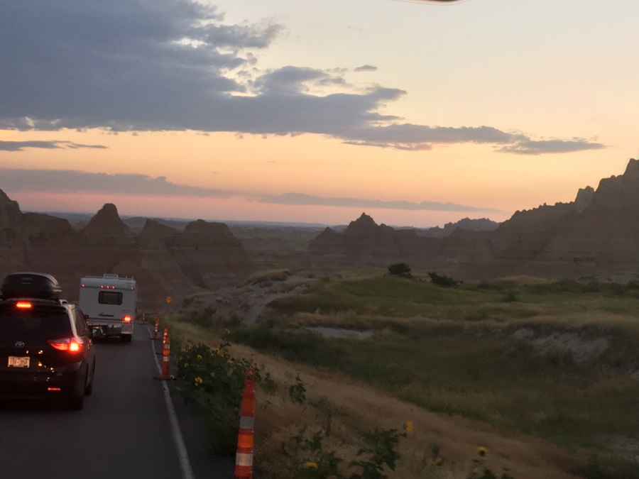
All-in-all, it was a fantastic start.  We’ve already witnessed some amazing scenery.  Then again, I didn’t really expect anything short.  In fact, I got a fortune cookie yesterday that proves it, so I hooked it on the dashboard:

WP_000723

Travel Day #1

Since most of you don’t have our hourly itinerary plugged into your phones or committed to long term memory, I’ll remind you that the first few days are about getting east so that we can see the site of Custer’s Last Stand at the Battle of Little Bighorn in Montana, and then move on to The Badlands and Mt. Rushmore in South Dakota.  I planned stops every few hours, though, to break up the trip. Some of the stops were intended to be only long enough to stick our neck out over a canyon and take a picture.  We used I-90 to cross WA, and all 70 miles of the Idaho panhandle, and 75 miles into Montana.

The first day’s stops were:

  1. Microsoft Visitor Center (Redmond, WA)
  2. Snoqualmie Falls (Snoqualmie, WA)
  3. Vantage Bridge & Wild Horse Monument (Vantage, WA)
  4. Indian Canyon Park (Redmond, WA)

Here are a few pictures:

Travel Day #2

We didn’t really get much farther East today, but that’s because of a couple of sights that I had put on the itinerary hoping they’d be pretty interesting.  It ended up being a fantastic day, ending with some unexpected surprises.

We’re all certainly much more in the groove of being on the road and stuck in close quarters with each other, too.  We were all less tired, less stressed, less cranky with each other today – and even happy to help with routine tasks.  Best of all: everyone was well prepared this morning, which gave us plenty of time to make our stops at the sights and still arrive at the campground at an early enough hour to cook some delicious food on our new grill.

The unexpected surprises were a bunch of wildlife treats at/near Lewis & Clark Caverns State Park.  The mule dear on the train tracks, the pelicans, the sand hill cranes (no picture), and the bald eagle were all spotted within the first of the 7-mile side road from the highway to the Lewis & Clark Caverns campground.  The big treat came when Sean asked me to take an after-dinner walk with him on a trail he could see winding up a hillside from our campground.  We let it take us about a mile and a half, and we were rewarded with not only some great sights & photos, but also sounds of what we believed to be elk calling each other (based on the elk calls we’d heard at the Rocky Mountain Elk Foundation in Missoula first thing in the morning – what a great little stop that proved to be)!

Otherwise, we did skip The Smokejumpers’ museum this morning, and it was well worth the extra time at the abandoned mining town of Garnet (circa 1890s – 1920s).  I knew Garnet would be a 50 mile detour, but what I didn’t know was that it included 15 miles of dusty, dry, washboard dirt road, and an ascent to an altitude of more than 6,000 feet!  We did fine on the rough road, and really enjoyed the views at a couple of overlooks.

  1. Rocky Mountain Elk Foundation
  2. Smoke Jumpers Visitor Center (skipped)
  3. Garnet Ghost Town
  4. Lewis & Clark Caverns State Park Campground

Travel Day #3

When I made the plans for Day 3, I saw multiple warnings on the internet about making sure to get to Lewis & Clark Caverns early to get a ticket, because they can only be purchased on-site for THAT day, and they sell out fast.  I had scheduled us to leave the campground at 8:30, before they opened at 9am.  The tours are guided and take ~2 hours, so I gave us a 3 hours time slot for this event on the itinerary, to account for some wait time. Talking to the camp ranger at check-in, she corroborated my information, but said that nobody goes early, so if I were to be there promptly at 9am, I would assuredly be on the first tour. She was right.

It seems like campsite departure preparations go pretty quickly, but it does somehow take a significant amount of time.  Even with the grill and chairs already stowed the night before, I had a few tasks. First, I had to drive the front wheels off the wood planks stepfather left in the truck for nights like this when one side or one end of the rig was lower than the other.  (There are few things more annoying than the feeling of rolling downhill – and out – of bed all night long.)  I also had to disconnect the electrical connection (once all the coffee and toast was made), put the picnic table back on the grass, pull down the privacy curtains, roll in the awning, roll in the slide-out, make sure all the side hatches, roof vents, and windows were closed and latched.

While I was making ready to leave, the rest of the family ate breakfast and secured all loose items.  With my itinerary reviewed, map at hand, and printed directions ready (surprisingly, it’s been easier, almost every time, to use the old fashioned method than the GPS) we were ready to go.  On this morning, since we’d had no water/sewar hookup the night before, our first stop was ALL THE WAY… on the other side of the street… to empty the black water tank (toilet waste) and grey water tank (sink & shower waste) and then add a little fresh water back into the black tank to stop odors.  Oh, and I made sure we still added a little water to our fresh water tank, too, so we could flush the toilet, have a drink, wash a spoon, etc. while we were going down the road later in the day. I know it’s extra weight to pull around which might kill our gas mileage, but it IS vacation, right?

We left the dump (sewage) station at 8:50am and were 3 miles up the road at the ticket booth by about 5-after; wearing long pants and sweatshirts (49-50 degrees inside the cave at all times).  We were one of the first vehicles into the parking lot, and easily secured a spot on the first tour at 9:20am (whew).  The short wait gave us time to take in the landscape, as well as watch a mule deer fawn prance around its parents in the ravine below the parking lot.  Perhaps it was the same 3 deer that Sean and I had seen the night before?

Passing the entrance to the tour, the guide takes a head count, and collects the information cards that were handed out with the tickets. Then, all the eager visitors proceed along the sidewalk that winds across the side of the hill/mountain to the mouth of the cave. I happened to notice, though, that the guide didn’t immediately proceed down the sidewalk with the group. Instead, he went back across the parking lot to return the information cards to the ticket booth. Mom and I waited for him – I figured he’d appreciate it, and I also thought maybe we’d get some private time and “bonus” information. The guide was named Jim, and he was a retired teacher in his 11th year as a guide (with over 3,000 trips inside). He explicitly thanked us for walking with him, because normally he does walk alone, like I suspected. I’m fairly certain we had a great conversation, too, but it’s hard to say for sure. Jim apparently has a habit of walking on the outside edge of the paved path. As you see from one of the pictures I’m attaching, the paths to and from the cave traverse the relatively steep face of the mountain. There is no railing, and although it’s a paved path, there are places where the edge drops so drastically that the pavement is jagged and dropping away itself. Jim’s 69 year old left foot landed so near the “open air part of the trail” that his ankle actually buckled a couple of times because only two-thirds of his left foot actually connected with anything solid. So we must have had a good conversation, but I know I spent the entire time trying to figure out how to adjust myself so that he’d get away from the edge. I tried hugging the inside of the path, and I even tried being just slightly ahead or behind him, but nothing made a difference. I started to get the idea that maybe Jim’s walked that trail so many times that he now plays a little game with himself. In the end, I have no idea what we talked about, but I do know that I kept looking down the slope under Jim’s left foot wondering if, when he falls off, will he stop rolling close enough to the trail where he’ll still be able to hear me when I yell “Are you still alive?” or if he’ll just keep going down and out of sight and earshot?

Well, Jim did make it to the entrance of the cave, where we joined the rest of the group. Several people wondered why there was a locked gate there, and no way to get in. Jim explained that it was important to wait for him, of course, but gave us several other obvious reasons, as well (keeping animals out, keeping vandals out, etc.). He gave us a great tour, and we all enjoyed it. Half way through, it suddenly occurred to me that I’d also visited this cave when I was 9 years old and traveling with my family – something I hadn’t realized when I’d done the planning!

From the cave, we leisurely returned at the camper a half-hour ahead of schedule, and used the time to get a head start on the 4.5 hour road to Little Bighorn Battlefield.  After 2 days of late nights and early mornings, it was tough to keep the eyes from drooping, but a wet face-cloth and a few cold drinks kept us safe.  We leisurely toured the battlefield, and found ourselves still 30 minutes ahead of schedule headed to the “7th Ranch RV Park” on the other side of the highway. We collected our free ice cream sandwiches at check-in (I knew ahead of time about it, but Mom & the kids didn’t) and proceeded to our site with full electrical AND plumbing service.  We showered, did 2 small loads of laundry, cooked some burgers and dogs, talked to a neighbor, and then sat and relaxed while the stars made their appearance.

A quick note about Little Bighorn Battlefield before I stop: this non-distinct tuft of grass – among many similar looking tufts of grass in that part of the State – made as big an impression on all 3 other people in my family as it did on me more than 30 years ago… and no small part of that was the the way the ranger told the “story” about that day’s proceedings back in 1876.  Until that day, I hadn’t seen anyone capture the attention of 2 young people for more than a half hour the way that guy did. Impressive!

Here are the day’s pictures for

  1. Lewis and Clark Caverns
  2. Little Bighorn Battlefield National Monument

Enjoy.

Travel Day #4

Sticking to the schedule has happily been quite easy. Day 4 was:

  1. leave MT, cross WY, enter SD
  2. Center of the Nation Monument (somewhat skipped)
  3. Saloon No. 10 for lunch
  4. Mount Moriah Cemetery (somewhat skipped)
  5. Mount Roosevelt Friendship Tower
  6. drive to campground at Badlands

As long as we leave at the proper time in the morning, we’re able to visit each attraction at our leisure, and when we’re done, we seem to be either right on schedule, ahead, or in a situation where if we’re behind, it doesn’t matter!  I might be saying something different when it comes to areas of heavy traffic – I didn’t account for that!  And we haven’t needed a grocery shop yet – in fact, we’re not eating as much as we normally do, so it’ll be a while, anyway….

That neighbor we talked to the night before was also headed to South Dakota. He was staying with I-90, but I had planned to back-track 3 miles to catch State Highway 212 across. We looked at the map together, and liked my idea, but was going to stick with his original plans – and I was going to stick to mine. Out here, I figure being off the highway could provide better sightseeing. Besides; I’d planned to use that section of I-90 on the westward leg back to Yellowstone, anyway; no sense hitting it twice.  Well, 212 proved fruitful, and we had a great morning ride. We saw a lot more Crow Reservation, and also crossed the Northern Cheyenne Reservation, too.  We were treated to our first prairie dog sightings, and quite a few antelope, as well.  We didn’t detour to the plaque at the site of the “Center of the Nation” (when considering AK and HI) after all, but went straight to Saloon #10 in Deadwood, SD (after crossing through a little corner of Wyoming).  JT and I amazed that the last 3 days’ driving had all been in one State!

I was shocked to learn that Deadwood remains an active gambling town. It’s brick-covered streets attract some “interesting characters” and so the sights abound. Saloon #10 is where “Wild Bill Hickock” was murdered during a game of poker – and we even drove by the cemetery where he’s buried, near other known names like “Calamity Jane.” I ordered a “wild boar” appetizer which the boys thought was fantastic (“tastes like pork, Dad”) and I had a buffalo burger, which I like.  Mom had a pasta dish with shrimp in it, and she wasn’t overly impressed.  Gee?  Ya think?  No beer available on draught, though, if you can imagine! But she had a nice IPA and I even indulged in a Shiner Bock, which, from Texas, was a “western enough” beer for the occasion, I felt.

After the late lunch we found the second windy/hilly/dirt road of our trip, to take a short walk at the top of a nearby mountain to see “Friendship Tower.” It was built in 1919 by a friend of Teddy Roosevelt, which he opened with a July 4 ceremony during his presidency. Now a national landmark, it’s clear that it’s not often visited (and the only other two people who were there at the same time confirmed).  For the five minutes it took to walk in and up the monument, we were rewarded with some great views – all the way to WY, MT, and even ND!

As much as everyone enjoyed Deadwood, the Badlands have taken the highlight.  The gasps and praises that could be heard from the coach as we pulled into the park just at sunset were worth the whole trip 10-fold.  As I write this, we’ve only driven to the heart of the park to get to the campground, but we’re looking forward to a day of “no plans” tomorrow except exploring here. Our only “obligation” is to be 2 hours away at Mt. Rushmore tomorrow night before they start the light show at around 9:30pm.  We’ve had our own light show here, though, as we’ve watched thunderstorms pass by us, leaving us only with some decent residual wind, but nothing else to worry us.

“The West”

For all of our East Coast readers (most of you) I thought I’d say a few things about “The West,” now that I’ve been crawling around on it for a few days.  Mostly “facts” but a few mouses/comments/questions.

  1. It isn’t as much “West” as I remember. Very few people are actually walking around with cowboy hats, cowboy boots, plaid shirts, blue jeans, and spurs.  At the rodeo tonight, many people did have hats and boots, but they all looked to clean.  So, I suspect, like we did, they donned their normally closeted gear for the occasion.
  2. In some places, the speed limit isn’t just 65, it’s 70!
  3. You can drive for 3 days, in the same direction, and still be in the same State.
  4. Vehicle choices are: gas or diesel pickup truck. That part about The West still seems to be true.  And it’s okay to put your dog in the back, even if your pickup is a flatbed (with no walls whatsoever).  That leads to the sub-section of this item:
    1. Dogs in The West have on-demand super glue on the bottom of their feet.
  5. In some places, the speed limit isn’t just 70, it’s 75!
  6. Most towns are in some sort of population contest, because they post their procreative accomplishments at the town limit.
    1. I just wonder how often they go out there with updates?  When you only have a few hundred people, do you make updates every time and Aunt Maude dies, or do you have to wait until special events occur, like when Cousin Matilda has twins?
    2. Who declares the winner of this contest, anyway?
  7. If you’re at all a curious at heart, traveling hundreds of miles at a time is NEVER boring. The entire terrain changes every few miles… and drastically. And in between, almost every roadside human construction has some remarkable oddity.  For example, things spotted in random fields:
    1. An “open range” – literally – as in, the kitchen appliance with a cook top and an oven door, which was open.  Oh, and it had a sign that said “open range” in case you wondered what you were looking at
    2. 800 sq. ft. houses with literally 10-15 cars parked outside
    3. oil derricks
    4. a 60-foot concrete brontosaurus
    5. collections of neatly organized junk (cars or farm equipment, or, most often, unidentifiable metal)
    6. abandoned houses, trailers, barns – in various states of abandonment/decay
    7. full-size dolls/sculptures of people (think trompe l’oeil) doing things like riding a boat off an embankment, crashing into a pond (it would have been more believable if it was an ATV instead of a boat – who drives a boat on land?)
  8. Driving in the summer is pretty easy.  The chain up/removal areas hint at a different story for non-summer months.
    1. The are always ample shoulders.
    2. There are no trees, bushes, or curves in the road to obstruct your view.
    3. In most places, there are 20-30 mile stretches with no intersections, cross-streets, driveways, stores, or gas stations to pose any cross-traffic risks, or to cause you to get lost.
    4. “Traffic” is defined as 2 or 3 cars within a quarter-mile of each other. If you find yourself among more vehicles than that, double-check: you may be in a Walmart parking lot.
    5. Basically, it’s possible to simultaneously, drive 70 mph down a road with a 20 mph crosswind, scan all surrounding areas for wildlife (or check the species of each roadkill), track the path of the horizon thunderstorm, answer questions from the passenger seat about how to operate Facebook or the digital camera, carry on 2 different conversations with people in the back of the coach, eat pasta salad, and follow the map… without crashing.  It’s pretty much like the “lightsabre battle Tesla advertisement” except there are no Teslas out here.  No, seriously: if you’re going to bring a Tesla out here, it would only end up in one of the above-mentioned collections
  9. In some places, the speed limit isn’t just 75, it’s 80!  (No, I haven’t seen any speed limit signs that say something like “reasonable and prudent,” which I read about in a magazine, once.)
  10. I haven’t seen ANY solar panels out here, and the only windmills were in Eastern Washington, which I still classify as the Pacific Coast instead of The West.

Travel Day #5: Badlands & Rushmore

Everyone was in very high spirits this morning as we packed up and hit the dump station. We all were excited to get personal with The Badlands. We stopped at the visitor center to hear the recommendations and understand the rules.  “You’re free to climb on anything you want; you’re welcome to roam the park; you don’t have to stay on the trails. You’re also free to fall off anything you want.”  Warning noted.

JT asked the ranger the only question I had in mind as well “Why do they call it The Badlands?” The answer is as you might guess: because it’s hot, dry, very difficult to travel through on foot, and there’s no potable ground water – it’s full of silt.

We headed out to a parking area with some nearby trails. Our phones were reporting temperatures in the low 80’s, but we’re sure it is at least 10 degrees hotter on the formations, based on what we experienced as soon as we left later in the day.  The formations are incredible: mixtures of rock and dried mud. On the surface, it’s powdery and brittle, but beyond that first eigth of an inch, it’s all so tightly packed, it’s as hard as solid rock. So what you’ve got is a suraface of marbles and pebbles on top of rock. It’s obviously aptly named, and trying to get anywhere is quite treaturous. But if you’re not really trying to get anywhere, and you’re just climbing around and exploring, it’s actually rather exillerating! In fact, I think we were all a little bit giddy about it, and happy to be allowed to literally go anywhere we wanted. Why do they allow this? I’m sure it’s because 5 minutes’ rain probably changes the landscape more than decade’s worth of human climbing. You can so clearly see how the water erodes the peaks and brings all the silt together into cement-hard collection areas at the bottom.

Although we had 7 hours to walk trails and do whatever we wanted, we’d had a “sufficiency of plentitude” by noon, and we were starting to bake in the sun, too.  We returned to the RV, started the engine AND generator to get as much air conditioning as possible, and had a nice lunch. While eating, I contemplated the map and adjusted the route to something more scenic.

When reading maps, it’s a good idea to understand the legend.  I have now learned that a double grey line road means it’s a dirt road.  You don’t generally expect to see dirt roads on State-wide maps, but sometimes, major roads out here are dirt! As soon as we bumped off the pavement onto the dirt, I’d regretted my decision, but that would soon change.

There’s a “scenic loop” road inside The Badlands. I chose to follow the part of it that went West, then cut across a connecting road before it turned North, so as to pick up the scenic road around on the outside of the park that continued West like I wanted, to get to Rushmore.

Not far from the parking lot, we turned a corner and found an enormous bighorn sheep eating grass right next to the road. He was unimpressed by the attention, and cared not that all automobile movement was at a stand still until he finished eating. Now it had been an absolute dream of mine to see one on this trip, but I felt like the chances were low. So we stopped and gawked without shame, until being bustled along by a park ranger. as I sure glad I’d adjusted our route!

I began to have my doubts thereafter, though. We battled some stiff winds on the open grassy plains once we left the crazy geology area of the park. We didn’t stop to take pictures of prairie dogs; they were now a common enough site. The connecting road looked promising at first, winding through some beautiful lowland areas with spots where the undrinkable water was collecting, past some picnic areas near some cool looking formations, but it suddenly turned into a cow-grate protected arrow-straight dirt road with plenty of potholes. (A cow grate is rows of metal bars that you cross like railroad tracks.  Unlike railroad tracks, though, they are much thinner where your tire touches them, they are only a few inches apart, and they are in groups of 20 or 30 rails instead of just 2. This will be across the entire road, and it creates a barrier about 4 feet wide that cows won’t cross.  The spaces between the rails is too big for their feet; they’ll fall through. The rails themselves are too small for their feet; they aren’t nearly coordinated enough to balance on the rails. So they are trapped, without a fence, yet cars, whose tires don’t fall through the small spaces, can cross easily.  That means we’re now inside someone’s cattle pasture. Well, at least we might see some nice cows.

We saw cows alright. We had to wait for them to get across the road, at times. And where do they get these cows? They’re enormous! Are the mothers protective of their babies? Because it’s ALL mother/calf pairs! Oh, but was that one a bull lying there? Geez.  But that was fun.

Antelope are plentiful enough to pretty much ignore as well. However, something about that last one we passed made me stop and looked again. Sure enough – I even had to back up: “look, they’re fighting!” It was two males, antlers entangled, grappling back and forth. We were down-wind, and these two were SERIOUS with each other. We watched and took pictures until we were bored, and they were still going back and forth – first one, then the other, looking like they were going to win the fight. I knew we’d see wildlife, but to see wildlife in action like this, well… I was just beside myself. The rest of that road had no potholes in it, I don’t think. Or if it did, I didn’t notice/care. What a perfect detour. I’m glad I didn’t know that double grey lines meant dirt road.

Well, we crossed some more beautiful country (of course) and checked in at our campground at Rushmore, which had no cell service, no water, and no electrical hookups. We fired up the generator (like other visitors) and made dinner. Then we drove over to Rushmore itself to take a picture at sunset and see the light show. The show was NOT what I expected. I thought it would be lasers and music, etc. Instead, they shined a light on the faces so you could see it at night, and they did a little talk at the amphitheater to acknowledge veterans – which was very cool, yes, but not what I expected, that’s all.

The boys and Cheryl were quite impressed by Rushmore, though, and again appreciative that we visited. So it was perfect.